
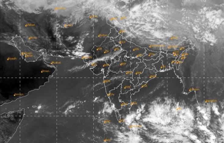
Bhubaneswar: A low pressure area has been formed over Southeast Bay of Bengal and adjoining Andaman and Nicobar Islands on Tuesday.
According to Bhubaneswar Meteorological Centre, the low pressure area is likely to move west-northwestwards and intensify into a ”depression” over Westcentral Bay of Bengal tomorrow. Thereafter, it would move northwestwards and may intensify into a ”Deep Depression” over Westcentral Bay of Bengal off Andhra Pradesh coast on Thursday.
Subsequently, it would recurve north-northeastwards and reach Northwest Bay of Bengal off Odisha coast on November 17. Under its impact, heavy to very heavy rainfall is very likely to occur at one or two places in the districts of Jagatsinghpur, Kendrapada, Puri and heavy rainfall (7 to 11cm) very likely to occur at isolated places in the districts of Ganjam, Khordha, Bhadrak, Cuttack, Jajpur, Nayagarh, Balasore, Mayurbhanj, Keonjhar and Dhenkanal on Friday.
Heavy Rainfall is also very likely to occur at isolated places in the districts of Mayurbhanj, Keonjhar, Balasore, Bhadrak, Jajpur, Dhenkanal, and Kendrapada on November 18.
Thunderstorm with lightning is very likely to occur at one or two places in the districts of Balasore, Bhadrak, Jajpur, Kendrapara, Cuttack, Jagatsinghpur, Keonjhar, Mayurbhanj, Khurda, Puri and Dhenkanal on Saturday and a yellow warning for these districts have been issued by Met. Light to moderate rain is likely to occur at a few places in some districts, it said.
Squally weather with gusting surface wind reaching 45 to 55 KMPH is very likely over west central Bay of Bengal on November 16 and 17.
Fishermen are advised not to venture into the sea from November 15 onwards and those who are in sea are asked to return to the shore before November 15.
Comments are closed.