
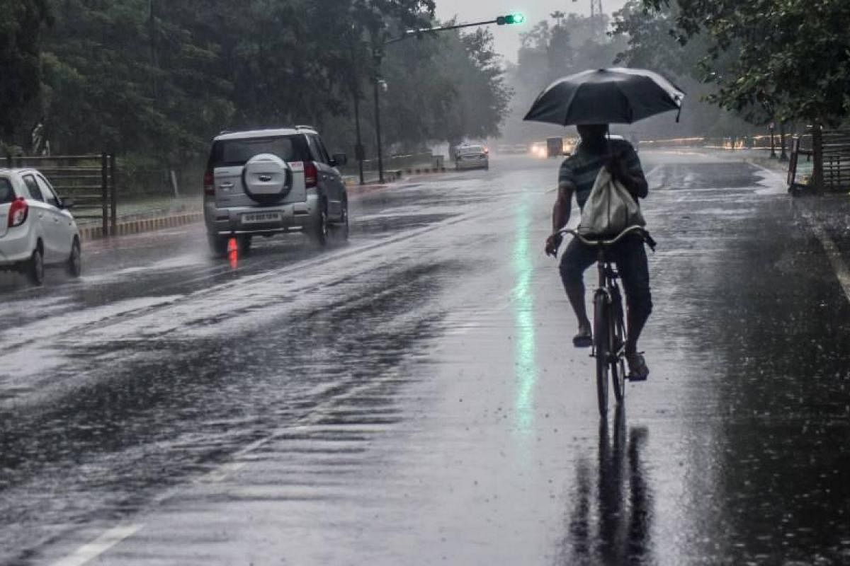
Bhubaneswar: Several districts of Odisha will experience rainfall for the next five days, till August 12, the India Meteorological Department (IMD) predicted on Saturday.
According to IMD, the Monsoon trough at mean sea level now passes through Bikaner, Jaipur, centre of Low Pressure Area over northern parts of Madhya Pradesh & neighbourhood, Daltonganj, Digha and thence eastsoutheastwards to northeast Bay of Bengal.
“The cyclonic circulation over southeast Bangladesh & neighbourhood now lies over West Bengal & adjoining Bangladesh and extends between 2.1 km & 5.8 km above mean sea level tilting southwestwards with height,” said the IMD.
Weather forecast and warning for districts of Odisha for next five days:
Days Forecast Warning
Day 1 (valid from 1330 hrs IST of 07.08.2021 upto 0830 hrs IST of 08.08.2021).
Light to moderate rain or thundershower very likely to occur at many places over the districts of North Coastal Odisha, Mayurbhanj, Keonjhar, Sundargarh, Jharsuguda, Dhenkanal, Koraput, Malkangiri, Nawarangpur, Kalahandi, Nuapada and at a few places over the rest districts of Odisha .
Yellow Warning(To be updated)
Thunderstorm with lightning very likely to occur at one or two places over the districts of Balasore, Bhadrak, Jajpur, Kendrapara, Cuttack, Jagatsinghpur, Khurda, Mayurbhanj, Keonjhar, Dhenkanal, Sundargarh, Jharsuguda, Kalahandi, Nuapada, Nawarangpur, Koraput, Malkangiri, Kandhamal.
Day 2 (valid from 0830 hrs IST of 08.08.2021 upto 0830 hrs IST of 09.08.2021).
Light to moderate rain or thundershower very likely to occur at a few places over the districts Odisha.
Yellow Warning(To be updated)
Thunderstorm with lightning very likely to occur at one or two places over the districts of Sundargarh,Keonjhar, Mayurbhanj, Jharsuguda, Sambalpur, Angul,Balasore, Bhadrak, Dhenkanal,
Koraput, Malkangiri, Kalahandi, Kandhamal,Deogarh.
Day 3 (valid from 0830 hrs IST of 09.08.2021 upto 0830 hrs IST of 10.08.2021).
Light to moderate rain or thundershower very likely to occur at a few places over the districts of North Odisha and at one or two places over the districts of South Odisha.
Day 4 (valid from 0830 hrs IST of 10.08.2021 upto 0830 hrs IST of 11.08.2021).
Light to moderate rain or thundershower very likely to occur at a few places over the districts of North
Interior Odisha and at one or two places over the rest districts of Odisha.
Yellow Warning(To be updated)
Thunderstorm with lightning very likely to occur at one or two places over the districts of Mayurbhanj, Keonjhar, Bhadrak, Balasore, Sundargarh, Jharsuguda, Bargarh, Nuapada, Bolangir.
Day 5 (valid from 0830 hrs IST of 11.08.2021 upto 0830 hrs IST of 12.08.2021).
Light to moderate rain or thundershower very likely to occur at a few places over the districts Odisha.
Yellow Warning(To be updated)
Thunderstorm with lightning very likely to occur at one or two places over the districts of Sundargarh, Jharsuguda, Bargarh, Sambalpur, Deogarh, Angul, Dhenkanal, Keonjhar, Mayurbhanj, Balasore, Bhadrak, Jajpur.
Farmers weather bulletin (for next 24 hours):
Light to moderate rain or thundershower very likely to occur at many places over the districts of North
Coastal Odisha, Mayurbhanj, Keonjhar, Sundargarh, Jharsuguda, Dhenkanal, Koraput, Malkangiri,
Nawarangpur, Kalahandi, Nuapada and at a few places over the rest districts of Odisha .
Farmers warning (for next 24 hours):
Yellow Warning(To be updated)
Thunderstorm with lightning very likely to occur at one or two places over the districts of Balasore,
Bhadrak, Jajpur, Kendrapara, Cuttack, Jagatsinghpur, Khurda, Mayurbhanj, Keonjhar, Dhenkanal,
Sundargarh, Jharsuguda, Kalahandi, Nuapada, Nawarangpur, Koraput, Malkangiri, Kandhamal.
Forecast for Bhubaneswar and n/hood valid for the next 24 hours: Generally cloudy sky with one or
two spells of rain or thundershower. Maximum and Minimum temperature very likely to be around 34°C
and 26°C respectively.
The IMD further stated that ” SW monsoon has been subdued over Odisha. Light to moderate rain/ thundershower has occurred at a few places over the districts of Interior Odisha and at one or two places over the districts of Coastal Odisha.”
Chief amount of rainfall recorded in cms are: Champua (Keonjhargarh) 4, Jamsolaghat (Mayurbhanj) 4, Naraj (Cuttack) 4, Baripada (Mayurbhanj) 4, Cuttack (Cuttack) 3, Atabira (Bargarh) 3, Daitari (Keonjhargarh) 3, Purushottampur (Ganjam) 2, Borigumma (Koraput) 1, Salepur (Cuttack) 1, Puri (Puri) 1, Hindol (Dhenkanal) 1, Padia (Malkangiri) 1, Kujanga (Jagatsinghpur) 1, Danagadi (Jajpur) 1, Belgaon (Bolangir) 1, Kalampur (Kalahandi) 1, Swam-patna (Keonjhargarh) 1, Tentulikhunti (Nawarangpur) 1, Pattamundai (Kendrapara)
The highest maximum temperature of 35.5°C was recorded at Chandbali and the lowest minimum temperature of 19.5°C was recorded at Phulbani in the plains of Odisha.
Comments are closed.