A fresh atmospheric disturbance over the region has brought rain concerns back to Odisha, even as the southwest monsoon continues its gradual withdrawal from the state.
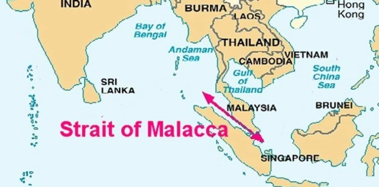
According to the India Meteorological Department (IMD), an upper-air cyclonic circulation that was active over the Gulf of Thailand shifted to the Strait of Malacca on Saturday morning. Extending up to 9.4 km above mean sea level, this system is expected to move into the Andaman Sea by October 11.
Dr Umashankar Das, Senior Scientist at IMD, confirmed that under its influence, a low-pressure area is likely to form over the South-East Bay of Bengal by October 13.
Current Weather Systems and Regional Forecast
In addition to the Malacca system, two other weather features are currently impacting the region:
-
An upper-air cyclonic circulation active over Central Odisha at an altitude of 0.9 km.
-
A trough line running from North-West Rajasthan through South-East Madhya Pradesh to Central Odisha at 0.9 km height.
Meanwhile, the southwest monsoon withdrawal line currently passes through Forbesganj, Supaul, Ranchi, Sundargarh, Bargarh, Bijapur, Hyderabad, Belgaum, and Panjim.
Yellow Alert for Lightning and Rain in Next 24 Hours
Dr Rajashree VPM, Scientist at the Regional Meteorological Centre in Bhubaneswar, stated that a Yellow Warning has been issued for several coastal and adjoining districts until the morning of October 12.
Light to moderate rainfall accompanied by thunderstorms, lightning, and gusty surface winds (30–40 km/h) is expected in isolated places across:
-
Districts under alert: Baleshwar, Bhadrak, Jajpur, Kendrapada, Jagatsinghpur, Kataka, Kendujhar, Mayurbhanj, Gajapati, Ganjam, Puri, Khordha, and Nayagada.
In the past 24 hours, several areas in Odisha experienced rainfall, with Puri recording the highest rainfall at 8 cm. Notable precipitation was also recorded in Harichandanpur, Gania, Hindol, Aliping, Sundaragada, Kakatpur, Jajpur Sadar, Kusumi, and Nischintakoili.
Dry Weather Ahead for 7 Days
From October 12 onwards, weather conditions across Odisha are expected to turn mostly dry and sunny. IMD forecasts no major changes in maximum or minimum temperatures over the next 7 days.
Currently, maximum temperatures in coastal Odisha remain around 2°C below normal, with Paralakhemundi recording the highest temperature at 36.2°C and Phulbani recording the lowest at 20.5°C.
Meteorologists emphasise that the atmospheric system is being continuously monitored, particularly as the formation of a low-pressure area during the monsoon retreat period remains a crucial event for the coastal state.