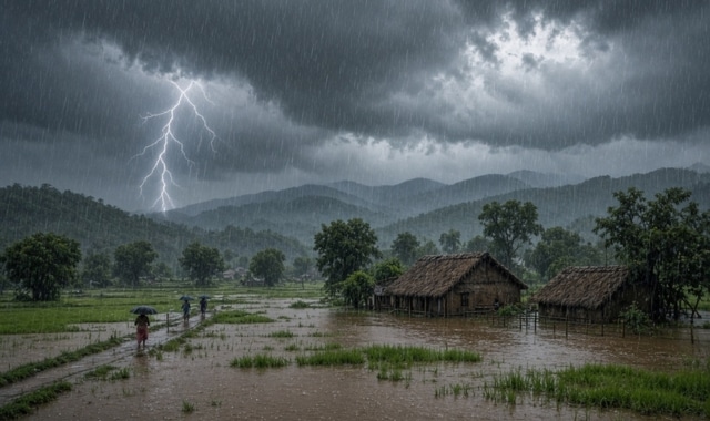
Odisha has witnessed widespread heavy rainfall over the past 24 hours, driven by a low‑pressure system and associated cyclonic circulation merging with the southwest monsoon troughline.
According to the Bhubaneswar Meteorological Centre, Debagada’s Barkot recorded the highest rainfall at 162 mm, followed by Jayant in Sambalpur (117 mm), Chandpur in Rayagada (113 mm), and Titilagarh in Balangir (97.9 mm).
The state’s average rainfall over the past 24 hours stood at 16.4 mm, which is 118% above normal (7.5 mm). Since June 1, Odisha has received 1096.9 mm of rainfall, about 30% above average, with no district reporting a deficit.
Currently, a low‑pressure area over Jharkhand and north Odisha is moving northwestward, accompanied by strong moisture inflow. As a result, northern and northeastern districts are likely to experience significant rainfall.
The Met Centre has forecast no rainfall on August 26, but showers will resume from August 27, with light to moderate rain and thunderstorms expected. Districts including Mayurbhanj, Kendujhar, Baleshwar, Bhadrak, Jajpur, Kendrapada, Jagatsinghpur, Kataka, Khordha, and Puri have been placed under a yellow warning for heavy rain and gusty winds (30–40 km/h).
From August 28 onwards, northern and northeastern districts such as Mayurbhanj, Kendujhar, Baleshwar, Bhadrak, Jajpur, Kendrapada, Jagatsinghpur, Kataka, Anugola, Dhenkanal, and Sundaragada will be under an orange warning for heavy to very heavy rainfall. Other districts will remain under yellow alert. Similar warnings have been issued for August 29–31, covering northern and central Odisha.
Authorities have cautioned residents about rising water levels in rivers, waterlogging in low‑lying areas, and lightning strikes. The Met Centre has advised people to remain alert and follow regular weather bulletins for safety.