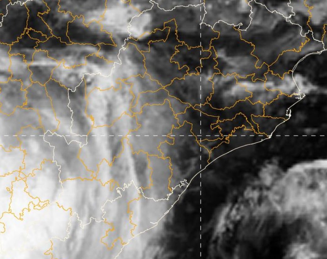
A deep depression that has been influencing weather across central India is steadily losing strength as it tracks westward, bringing temporary relief to Odisha after widespread showers on Wednesday.
According to the India Meteorological Department (IMD), the system, which lay over central Chhattisgarh and adjoining north interior Odisha, had moved west by Wednesday afternoon. At 5:30 pm, it was positioned about 30 km southeast of Bilaspur in Chhattisgarh and had been advancing westward at roughly 8 km per hour over the previous six hours. In the next 24 hours, it is expected to continue its nearly westward path across Chhattisgarh, eastern Madhya Pradesh and adjoining Vidarbha, gradually weakening into a well-marked low-pressure area.
The system triggered rain with thunderstorms and lightning across several Odisha districts on Wednesday, including Balasore, Bhadrak, Jajpur, Kendrapara, Jagatsinghpur, Cuttack, Sundargarh, Jharsuguda, Mayurbhanj, Keonjhar, Rayagada, Koraput, Malkangiri, Gajapati, Ganjam, Puri, Khordha and Nayagarh. From Thursday onward, the spatial coverage of rainfall is forecast to shrink.
No severe rainfall warning has been issued until August 1. However, a yellow warning remains in place for thunderstorms accompanied by rain, particularly over coastal and adjoining districts. From August 2, rainfall intensity is expected to pick up again, with a yellow warning for heavy rain over southern Odisha districts. Heavy rain alerts have been issued for August 2, 3 and 4 across the state. Residents in low-lying and riverside areas have been advised to stay alert for possible waterlogging.
“We are keeping continuous watch on the track and intensity of the deep depression,” said Manorama Mohanty, Director of the Regional Meteorological Centre.
Meanwhile, the ongoing monsoon season has already delivered 35% excess rainfall statewide. Against a normal of 526.4 mm, Odisha has recorded 711.6 mm so far. Several districts—including Bolangir, Bargarh, Boudh, Kandhamal, Dhenkanal, Cuttack, Puri, Jagatsinghpur, Kendrapara and Keonjhar—have seen extremely heavy rain, while others such as Nuapada, Jharsuguda, Sambalpur, Deogarh, Angul, Nayagarh, Khordha, Jajpur, Bhadrak and Balasore recorded heavy falls. Six districts received normal rainfall and three remained deficient. After a 46% rainfall deficit in June, five low-pressure systems in July helped the state recover and post the current surplus.
Authorities continue to monitor the evolving weather pattern and urge residents to follow official advisories closely in the coming days.