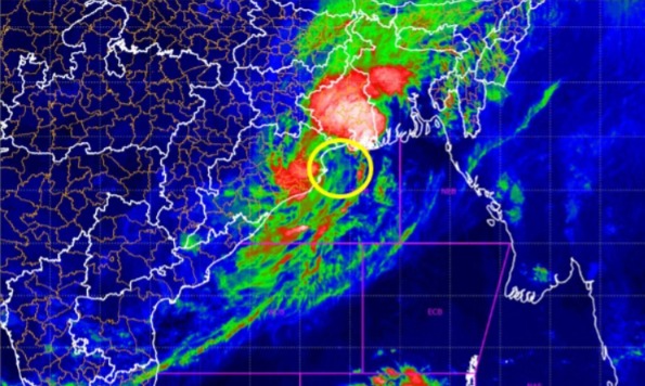
New Delhi: The Very Severe Cyclonic Storm (VSCS) “Biparjoy” has now turned into an “Extremely Severe” Cyclonic Storm (ESCS)”, India Meteorological Department (IMD) informed.
Biparjoy has intensified into an ‘Extremely Severe Cyclonic Storm’ and at 5:30 am lay centered at about 480 km South-South West of Gujarat’s Porbandar, 530 km South-South West of Dwarka and 610 km South-South West of Naliya, IMD tweeted.
IMD said it will cross Saurashtra and Kutch and adjoining Pakistan coasts between Mandvi, Gujarat and Pak’s Karachi around noon of June 15 as Very Severe Cyclonic Storm.
While Cyclone ‘Biparjoy’ is predicted to not directly hit Indian coasts or make landfall in India, Gujarat, Goa, Maharashtra, and Karnataka, however, are on alert to deal with the impact of the passing cyclonic storm.
Biparjoy’ cyclone was earlier expected to make landfall in Pakistan, country’s meteorological agency said that it is unlikely there. Authorities in coastal areas in Sindh and Balochistan, however, have been advised to be on alert to ensure public safety.
The cyclone is likely to pass at a distance of 200-300 km from Gujarat’s Porbandar coast but will bring thunderstorms and strong wind in the western state in the next five days.
Fishermen have been warned against venturing into the Arabian Sea over the next five days and all fishing activities have been suspended.
Teams of the National Disaster Response Force (NDRF) have been dispatched to the districts of Porbandar, Gir Somnath and Valsad. The Indian Coast Guard (ICG0 has also commenced an outreach to advise the fishing community, seafarers and stakeholders of Gujarat, Daman and Diu to take requisite precautions and safety measures.


