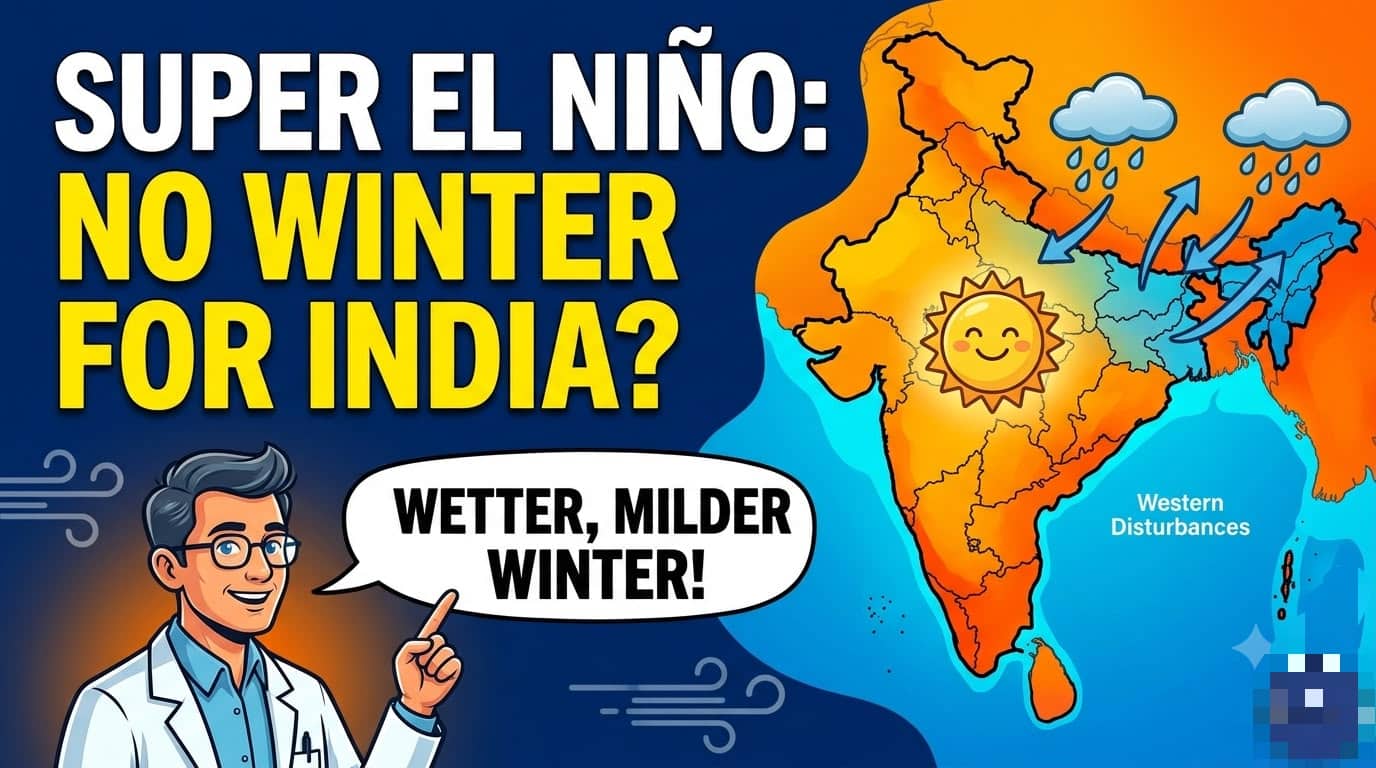
The El Niño now building in the equatorial Pacific is forecast to peak in December and remain active with near-certainty through February 2027, the World Meteorological Organization said in its Global Seasonal Climate Update.
India is likely to feel that as a milder winter, more frequent western disturbances, and extra winter rain along the east coast and in the Northeast, according to IMD scientist Dr. Umasankar Das.
WMO Secretary-General Celeste Saulo said the event is “firmly established and strengthening rapidly,” with a near-100 percent likelihood it will persist through February 2027 and the potential to rank among the strongest since at least 1950. The seasonal average Niño 3.4 sea-surface temperature anomaly for October–December is forecast at about 3.7°C above normal, peaking around December. WMO said that would exceed the previous record anomaly of 2.6°C in November 2015–January 2016. The index had already climbed from about 1.6°C above normal in June to 2.5°C in August.
El Niño is the warm phase of the Pacific’s El Niño–Southern Oscillation. It does not create new heat; it releases heat the ocean has already stored, which is why strong events often coincide with some of the hottest years on record. Saulo has stressed that global oceans are already at record warmth, so more heat is available to be released into the atmosphere.

The same Pacific pattern is already reshaping seasonal odds elsewhere. WMO’s October–December outlook favours above-average temperatures over much of the globe, wetter conditions in parts of the Greater Horn of Africa, Asia, and the Americas, and a drier signal over the Indian subcontinent in the broader seasonal picture — even as individual western disturbances can still dump rain on northern and eastern India.
UN spokesperson Stéphane Dujarric has also flagged the event, warning that a strong El Niño can disrupt economies, ecosystems, and communities by pushing temperatures higher and swinging rainfall toward drought in some regions and floods in others.
The practical takeaway for the coming months is not a vanished winter, but a softer one. Cold-wave frequency is expected to drop, winter rain activity to rise in the east and Northeast, and the Pacific heat anomaly to stay extreme into early 2027.
How sharp the local impact becomes will depend on how the western disturbances and the Indian Ocean pattern line up week to week — something IMD will keep updating as the peak approaches.