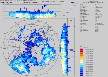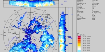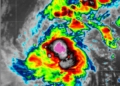

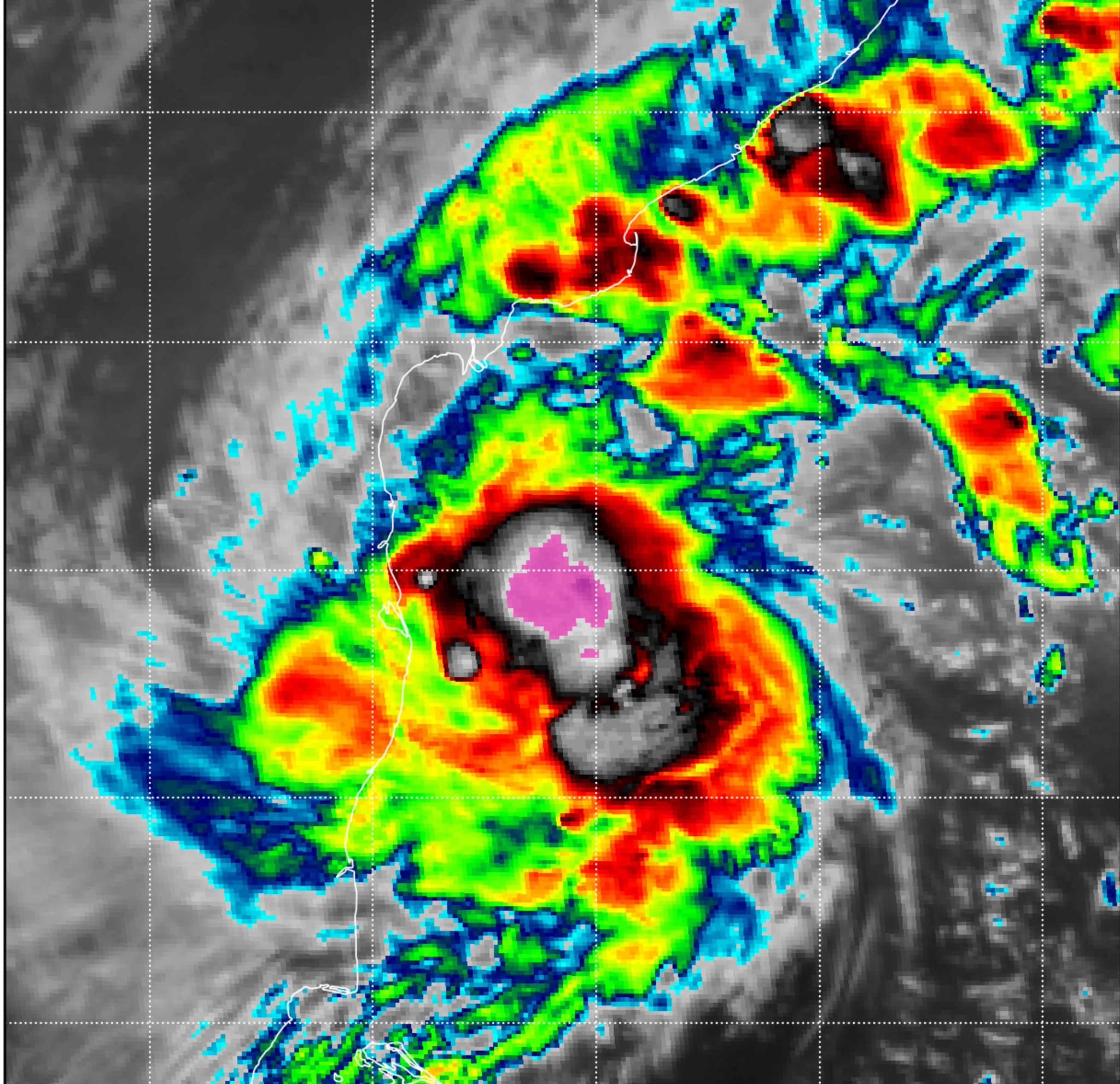
What began as a low-pressure system in the Bay of Bengal has rapidly transformed into a dangerous weather engine. Severe Cyclonic Storm Murasu is now packing winds strong enough to whip up very high seas and is marching west-northwest toward the Andhra Pradesh coastline.
According to the latest India Meteorological Department bulletin, the system was located roughly 260 km east-southeast of Chennai and about 290 km from Nellore as of the early hours of 2 November. It is advancing at nearly 20 km per hour. Forecasters say the storm is likely to cross the Andhra coast sometime between midnight and the following morning.
IMD track maps paint a clear picture: a cone of uncertainty that stretches across coastal Andhra Pradesh, with sustained winds already in the severe cyclonic storm range (48–63 knots / 89–117 kmph) and the potential to intensify further before landfall. Fishing operations have been ordered completely suspended as seas turn rough to very high, and coastal communities are being urged to stay alert.
Residents of Nellore, Machilipatnam, Ongole and surrounding districts are watching the sky with growing concern. Fishermen who set out days earlier have been recalled, while local authorities are preparing evacuation plans for low-lying villages. Even though Odisha lies farther north, the state’s coastal belt is monitoring the system closely for any northward shift in the track.
Meteorologists stress that the situation remains dynamic. Wind speeds, rainfall intensity and the exact point of landfall can still change. Residents along the Andhra coast are advised to follow official updates, secure loose objects, avoid unnecessary travel near the sea and keep emergency kits ready.
Murasu is the latest reminder of how quickly the Bay of Bengal can turn from calm to fierce. For now, the watchword along the east coast is simple: stay informed, stay prepared, and take the warnings seriously.