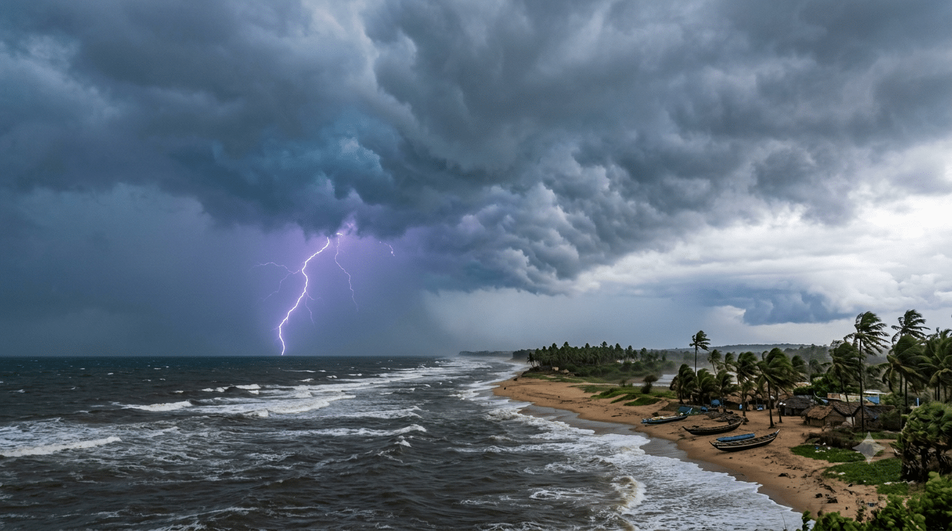
The regional centre of the India Meteorological Department (IMD) in Bhubaneswar has issued a 24-hour weather alert for several districts across Odisha, warning of lightning, thunderstorms, and gusty winds, as a new low-pressure system brews over the Bay of Bengal.
Yellow Warning for Several Districts
According to Dr Manorama Mohanty, Director of the Bhubaneswar Meteorological Centre, a Yellow Warning remains in place until the morning of October 12 for districts including Baleshwar, Bhadrak, Jajpur, Kendrapada, Jagatsinghpur, Kataka, Sundaragada, Kendujhar, and Mayurbhanj. These regions are likely to experience lightning, light-to-moderate rainfall, and gusty surface winds reaching speeds of 30 to 40 km/h.
Additionally, light to moderate rainfall or lightning is expected in coastal and neighbouring districts such as Gajapati, Ganjam, Puri, Khordha, and Nayagarh, while dry weather is likely to prevail across the remaining parts of the state.
Key Weather System & Tracking
| Event / Parameter | Details & Location | Timeline / Status |
| Upper Air Circulation | Malacca Strait $\rightarrow$ Andaman Sea | Extended up to $9.4\text{ km}$ above sea level |
| Low-Pressure Area Formation | South-East Bay of Bengal | Expected by October 13 |
| System Movement Trajectory | West-Northwest towards North Tamil Nadu–South Andhra Coast | Post-formation assessment |
| Fishermen Warning | Odisha-Andhra Coast | No warnings issued for the next 5 days |
| Sea Surface Temperature | Bay of Bengal & Andaman Region | Favorable ($28^\circ\text{C} – 30^\circ\text{C}$) for intensification |
Will the System Intensify?
Senior IMD scientist Dr Umashankar Das confirmed that the system is likely to intensify into a low-pressure area around October 13. Meanwhile, IMD Director General Dr Mrutyunjay Mohapatra stated that the meteorological department is closely monitoring its movement.
“Whether the system intensifies further into a depression will become clearer only after the low-pressure area fully develops over the South-East Bay of Bengal,” noted Dr. Mohanty.
If the system follows international weather model trajectories, it is anticipated to move west-northwest towards the northern Tamil Nadu and southern Andhra Pradesh coasts. However, its outer bands are expected to trigger increased rainfall and thunderstorm activity across coastal Odisha around October 14 and 15.
Monsoon Withdrawal and Temperature Outlook
Currently, the southwest monsoon withdrawal process is underway, and there are no active severe weather systems directly stationed over Odisha.
-
Highest Temperature: Paralakhemundi recorded the maximum temperature at $36.2^\circ\text{C}$.
-
Lowest Temperature: Sundargarh and Paralakhemundi recorded the lowest temperature at $20^\circ\text{C}$.
Day and night temperatures across Odisha are expected to remain steady over the next 7 days without significant fluctuations. A gradual drop in night temperatures is likely toward the mid-to-end of October as the monsoon withdrawal completes, marking the slow transition toward winter.