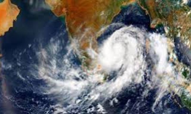
The India Meteorological Department (IMD) has forecast the formation of a fresh low‑pressure area over the Bay of Bengal within the next 24 hours, raising the likelihood of heavy rainfall across Odisha.
Officials said the cyclonic circulation is currently active over the north Bay of Bengal and adjoining coastal areas of West Bengal and Bangladesh, extending up to 5.8 km above mean sea level. Under its influence, a low‑pressure system is expected to form soon, intensifying monsoon activity.
The IMD has predicted light to moderate rainfall across Odisha for the next seven days, with heavy to very heavy showers in northern and coastal districts. Thunderstorms, lightning and gusty winds are likely during the first five days.
An orange warning has been issued for Mayurbhanj, Kendujhar, Rayagada, Koraput and Gajapati, while yellow alerts cover districts including Sundaragada, Jharsuguda, Sambalpur, Baragada, Balangir, Kalahandi, Ganjam, Kataka, Khordha and Puri.
Fishermen have been advised not to venture into the north Bay of Bengal and Odisha‑West Bengal coasts due to rough sea conditions and squally winds. The regional weather centre cautioned that low‑lying areas may face waterlogging and rivers could see rising water levels.
Authorities are closely monitoring the system and will issue further advisories depending on its movement, intensity and impact.