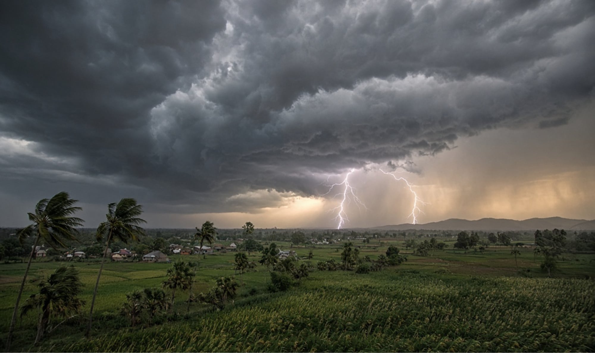
A trough line extending from northeast Bihar to Telangana is expected to bring thunderstorms, lightning and gusty winds to parts of Odisha over the next 24 to 48 hours, the Regional Meteorological Centre has warned.
The trough passes through Jharkhand, Odisha and Chhattisgarh and lies between 3.1 km and 1.6 km above mean sea level. Under its influence, several areas of the state are likely to see thunderstorms with lightning and wind speeds of 30–40 kmph, Regional Meteorological Centre scientist Sanjib Dwivedi said.
In one or two places in Sundaragada, Jharsuguda, Bargada and Sambalpur districts, lightning accompanied by gusty winds of 40–50 kmph is possible. Thunderstorms with winds of 30–40 kmph may also occur in Baleshwar, Bhadrak, Jajpur, Kendrapada, Jagatsinghpur, Kataka, Debagada, Anugola, Dhenkanal, Kendujhar and Mayurbhanj. The impact is expected to be more widespread across western and northern Odisha.
Even as the southwest monsoon continues its gradual withdrawal, the trough and associated cyclonic circulation are keeping weather unsettled over the state. Day temperatures may rise slightly, with warm conditions during the day and humidity at night. Sudden showers in some places could bring a temporary drop in temperature.
Residents have been advised to stay alert. During thunderstorms, people should avoid open areas, shelter under tall trees and proximity to water bodies; exercise caution while using electrical appliances; and farmers should take special care while working in open fields. Forecasts on further weather changes over the coming days have also been issued, Dr Dwivedi said.