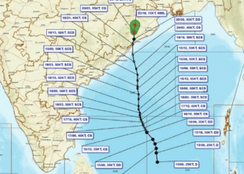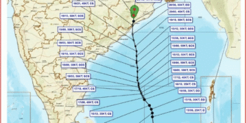


With the southwest monsoon withdrawal process underway across Odisha and neighbouring Chhattisgarh, meteorologists and weather agencies are closely monitoring potential low-pressure formations in the Bay of Bengal.
According to weather expert Biswajit Sahu, international weather models indicate possible low-pressure developments in mid-Oct. However, whether any such system will intensify into a tropical cyclone remains speculative at this early stage.
Low-Pressure Systems Common During Retreat Phase
Historically, the post-monsoon transition period sees low-pressure systems developing in the Bay of Bengal. While several past systems have brought heavy rainfall to southern Odisha and neighbouring Andhra Pradesh, not all evolve into full-fledged cyclones.
“The monsoon retreat from Chhattisgarh will begin within two days, followed by its complete withdrawal from Odisha. Systems forming during this transition phase can carry significant energy due to high sea surface temperatures,” explained Biswajit Sahu. He noted that clarity regarding the system’s trajectory and intensity will only emerge after Oct 11, following the expected formation of a cyclonic circulation over the Andaman Sea around Oct 12–13.
IMD Forecasts Dry Weather; Farmers Advised Caution
The India Meteorological Department (IMD) expects dry weather to prevail across Odisha over the coming days. The meteorological agency stressed that the formation of a low-pressure area does not automatically translate to a cyclone.
While cyclones in October—such as Cyclone Bulbul (2019) and Cyclone Jawad (2021)—are historically less likely to directly hit the Odisha coast after mid-October, systems moving toward Tamil Nadu or Andhra Pradesh can still trigger widespread rain in southern Odisha.
Experts advise the public to avoid unverified rumours and rely strictly on official IMD bulletins. Meanwhile, farmers across Odisha are advised to prepare for paddy harvesting, given the potential for rain later in the month if systems shift northward.