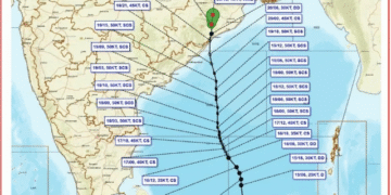

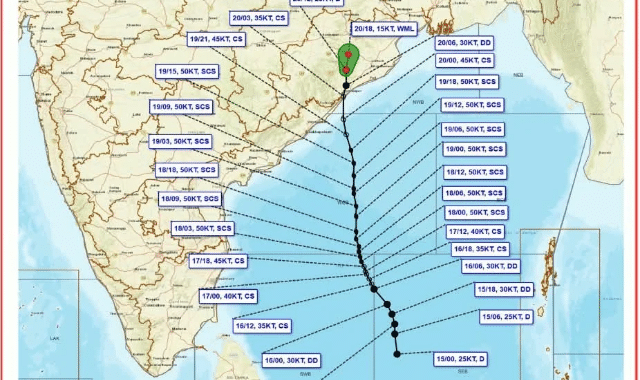
In a major relief for the people of Odisha, the remnants of Severe Cyclonic Storm ‘Akvan’—which lay over south coastal Odisha as a deep depression—have weakened further into a depression, according to the late-night bulletin issued by the India Meteorological Department (IMD).
The IMD reported that the system is expected to weaken into a well-marked low-pressure area by Friday midnight and subsequently transform into a regular low-pressure area by Saturday morning.
Over the past six hours, the depression moved northwards at a speed of 12 kmph. Based on the latest IMD observations, the system was centred about 70 km south-southwest of Angul, 100 km north of Gopalpur, and 110 km west-northwest of Puri. While the remnant system continues to hover over Odisha and move northward, rainfall activity in the coastal districts has steadily decreased since Friday afternoon.
According to the Regional Meteorological Centre, despite the gradual weakening of the system, isolated to scattered rainfall is likely across several parts of the state on Saturday. Authorities have advised monitoring nine specific districts: Balasore, Bhadrak, Jajpur, Kendrapara, Jagatsinghpur, Cuttack, Sundargarh, Mayurbhanj, and Keonjhar. The weather across the rest of the state is expected to remain predominantly dry.
Dr. Manorama Mohanty, Director of the Bhubaneswar Meteorological Centre, stated that dry weather will prevail across Odisha starting November 22, with no significant weather changes anticipated for the next seven days. Furthermore, all previously issued warnings for fishermen, port authorities, heavy rainfall, and strong winds in connection with Cyclone Akvan have officially been withdrawn.