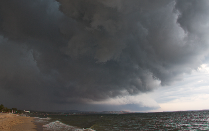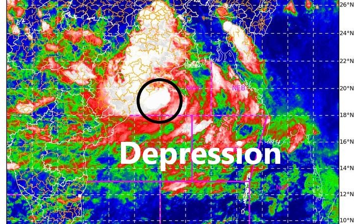
Bhubaneswar: The Well Marked Low Pressure area has intensified into Depression over Northwest Bay of Bengal and adjoining Odisha Coast at 5.30 PM on Sunday.
It is likely to move north-northwestwards and cross north Odisha coast near Chandbali by early morning of 13th September, the Bhubaneswar Meteorological Centre said in its lastest forcast.
“Depression over northwest Bay of Bengal & adjoining Odisha coast is at a distance of 80km east-southeast of Chandbali, 70km east of Paradip and 140km south-southeast of Balasore. It is very likely to cross north Odisha coast near Chandbali by tomorrow morning, the IMD regional centre said.
#Depression over northwest Bay of Bengal & adjoining Odisha coast is at a distance of #80km east-southeast of #Chandbali, #70km east of #Paradip and #140km south-southeast of #Balasore
It is very likely to cross north Odisha coast near #Chandbali by tomorrow morning#Monsoon2021 pic.twitter.com/3Xe1B6leLX
— Meteorological Centre, Bhubaneswar (@mcbbsr) September 12, 2021
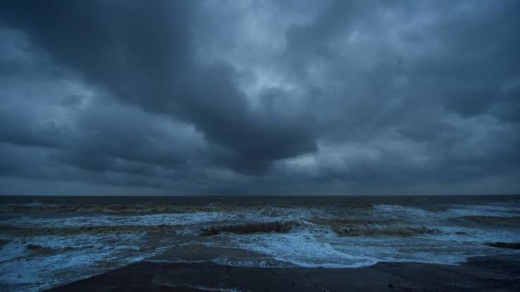
“The Well Marked Low Pressure Area lies over Northwest & adjoining West-central Bay of Bengal and it is very likely to move west-northwestwards and concentrate into a Depression over Northwest Bay of Bengal and adjoining areas of north Odisha-West Bengal coasts during next six hours. Under its influence, surface wind speed reaching 45-55kmph gusting to 65 kmph very likely along and off Odisha coast and over North & West central Bay of Bengal during 12th -14th Sep, 2021,” the IMD weather bulletin read.
In its evening weather bulletin, the Met Centre informed that Puri recorded the highest rainfall of 181.0 mm followed by Bhubaneswar 122.3 mm. The other places that recorded significant rain are Titlagarh- 48.8mm, Paradeep- 53.6 mm, and Jajpur-42.0mm between 8.30 AM and 8.30 PM today.