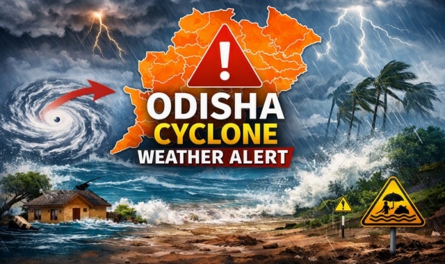
Weather conditions across Odisha are set to turn inclement over the coming days as the India Meteorological Department (IMD) tracks a newly formed upper-air cyclonic circulation.
Originating over north Thailand and extending up to 7.6 km above mean sea level, the system is projected to emerge over the north Andaman Sea by the evening of September 18.
According to the meteorological centre, a low-pressure area is likely to form under its influence over the same region by September 19 evening. The system is subsequently forecast to intensify and move west-northwestwards, heading toward the south Odisha and north Andhra Pradesh coasts over the next three to four days.
In anticipation of the evolving weather system, the IMD has issued a yellow warning for heavy rainfall and thunderstorms across multiple districts in Odisha through September 21.
District-wise Forecast and Timeline
-
Sept 16 to 17 (8:30 AM): Heavy rainfall is very likely at isolated spots in Mayurbhanj, Rayagada, Koraput, and Gajapati. Simultaneously, thunderstorms accompanied by lightning and gusty winds reaching 30-40 kmph are expected across 22 districts, including Baleshwar, Bhadrak, Kataka, Khordha, Puri, and Ganjam.
-
Sept 17 to 18: Thunderstorm activities with lightning and gusty winds will continue across over 20 districts.
-
Sept 18 to 19: Heavy rainfall is very likely at isolated locations over Baleshwar, Kendujhar, and Mayurbhanj, alongside widespread gusty winds and thunderstorms.
-
Sept 19 to 20: As the system intensifies, heavy downpours are predicted for Mayurbhanj, Rayagada, Koraput, Malkangiri, Gajapati, and Ganjam, with thunderstorms sweeping across a larger swathe of the state.
-
Sept 20 to 21: Heavy rainfall warnings remain in place for Kalahandi, Rayagada, Koraput, Malkangiri, Gajapati, and Ganjam, accompanied by continuous thunderstorm alerts statewide.
The meteorological department is keeping a close watch on the trajectory of the developing weather system and has urged local administrations and residents to stay updated on future advisories.