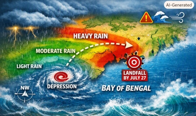
The India Meteorological Department (IMD) has forecast heavy rainfall across Odisha over the next 48 hours following the formation of a depression over the northwest Bay of Bengal on Sunday morning.
According to the IMD, the well‑marked low‑pressure area over the northwest Bay of Bengal and adjoining north Odisha–West Bengal coasts intensified into a depression at 8:30 am IST. The system was centred near latitude 20.6° N and longitude 88.4° E, about 130 km south‑southeast of Sagar Island, 140 km southeast of Digha, 170 km east of Chandbali, and 180 km east‑southeast of Balasore.
Meteorologists expect the depression to move northwestwards and intensify into a deep depression within 24 hours. It is likely to cross the north Odisha and West Bengal coasts between Paradip and Sagar Island around the forenoon or noon of July 27.
Under its influence, widespread heavy rainfall is expected across coastal and northern Odisha districts. The intensity may increase as the system approaches landfall, accompanied by gusty winds and rough sea conditions.
Authorities have advised fishermen not to venture into the sea and urged residents to stay alert for possible waterlogging and localised flooding.