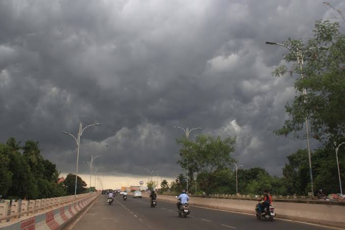
The India Meteorological Department (IMD) on Saturday issued a short-term weather alert for five coastal districts in Odisha—Kendrapara, Jagatsinghpur, Jajpur, Khordha, and Cuttack—warning of possible Nor’wester (Kalbaisakhi) activity within the next two hours.
The alert also mentioned that Bhubaneswar and Cuttack are likely to experience thunderstorms accompanied by lightning and gusty winds.
This Nor’wester warning comes amid sharply contrasting weather across Odisha. While the western districts—Sambalpur, Bolangir, and Nuapada—are facing extreme heat with temperatures nearing 42°C, the coastal and central regions have been grappling with oppressive humidity since early May.
Several parts of the state have already witnessed isolated thunderstorm activity in recent days, providing brief relief from the scorching temperatures. Areas such as Bhadrak, Puri, and Kendrapara experienced light showers, lightning, and squally winds. These sporadic weather events are expected to persist as the state moves closer to the southwest monsoon season.
According to the IMD, the southwest monsoon is expected to advance into the south Andaman Sea and adjoining Bay of Bengal around May 27. Some models even suggest that the advancement could occur as early as the next 24 hours.
Additionally, a developing low-pressure system over the Arabian Sea may intensify into a depression or cyclonic circulation, potentially aiding the early onset of the monsoon. While no official forecast has confirmed its intensification, the circulation is already influencing regional weather dynamics.


