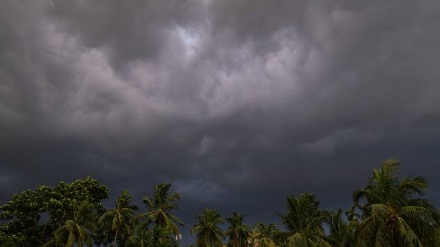
Odisha is gearing up for a significant weather shift as a low-pressure system is expected to form over the west-central Bay of Bengal by May 27, 2025, promising heavy rainfall across the state.
According to Manorama Mohanty, Director of the Regional Meteorological Centre in Bhubaneswar, this system, evolving from a cyclonic circulation, may intensify into a depression, bringing substantial rain from May 27 to May 28. More notably, this weather event could hasten the arrival of the southwest monsoon in Odisha, potentially earlier than anticipated.
The India Meteorological Department (IMD) has forecast that the southwest monsoon will reach Kerala within the next two days, setting the stage for favourable conditions to propel the monsoon towards Odisha. The impending low-pressure system is expected to create conducive weather patterns, accelerating the monsoon’s progression. “The formation of this low-pressure area could significantly influence the monsoon’s early onset in Odisha,” Mohanty stated, highlighting the system’s potential to alter seasonal patterns.
Currently, Odisha is experiencing cloudy skies and scattered rainfall, driven by a trough line and an active low-pressure system stretching from south Konkan to the east-central Arabian Sea. This system, extending through south Chhattisgarh, south Madhya Pradesh, south Marathwada, and north Telangana, has lowered daytime temperatures across the state, offering respite from the scorching heat. Over the past 24 hours, Daringbadi recorded the highest rainfall at 26 mm, with other regions, including Bhubaneswar, Puri, Balasore, Bhadrak, Kendrapara, Cuttack, Jajpur, Dhenkanal, Angul, Ganjam, and Gajapati, also witnessing precipitation.
The ongoing Kalbaisakhi (Nor’wester) storms have further contributed to the cooling effect, particularly in Odisha’s interior regions, where daytime temperatures have dropped below 40°C. Coastal areas, however, are grappling with humid conditions. The IMD has issued a yellow warning for Saturday, May 24, 2025, for districts including Mayurbhanj, Keonjhar, Rayagada, Koraput, Malkangiri, Nabarangpur, Kalahandi, Nuapada, Kandhamal, Balangir, Sundargarh, and Jharsuguda. These areas are expected to experience thunderstorms accompanied by winds of 30–50 km/h, with heavy rainfall likely to persist until May 29.
The combination of Kalbaisakhi storms and the anticipated low-pressure system is set to bring both challenges and relief. While the heavy rainfall may disrupt daily activities and necessitate preparedness in vulnerable areas, the drop in temperatures is a welcome change for residents enduring prolonged heat. The IMD has urged residents in the warned districts to stay vigilant, particularly during thunderstorms, which could bring gusty winds and lightning.
As Odisha prepares for this dynamic weather pattern, the early monsoon arrival could have significant implications for agriculture and water resources. Farmers across the state are hopeful that the timely rains will support the upcoming planting season, while authorities are monitoring the situation to mitigate potential flooding risks in low-lying areas.
The Regional Meteorological Centre will continue to provide updates as the low-pressure system develops, with forecasts indicating that Odisha’s weather will remain active and wet in the coming days. Residents are advised to stay informed and take necessary precautions to navigate the stormy weather ahead.


