

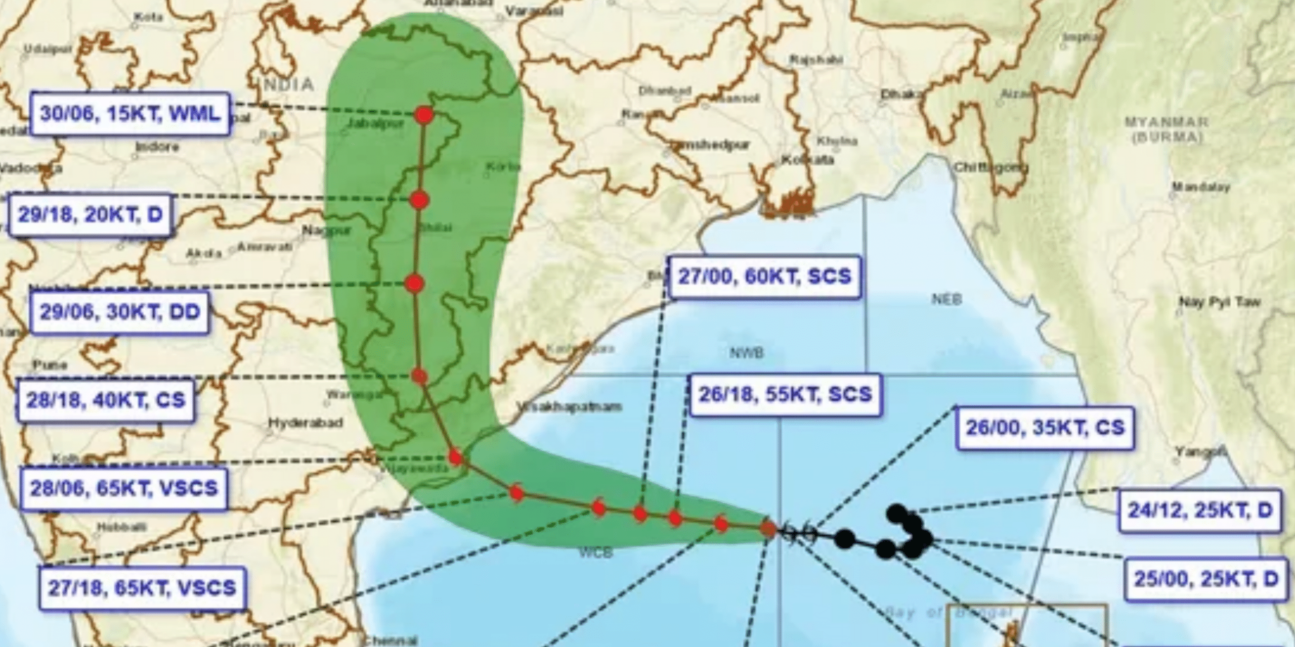
The India Meteorological Department (IMD) has issued a Red Message (Cyclone Warning) for the coasts of Andhra Pradesh and adjoining south Odisha as Very Severe Cyclonic Storm ‘Arnab’ (pronounced Ornab) continues its approach over the West-Central Bay of Bengal.
According to reports, as of Oct 27, 2026, the system has been tracking nearly westward at a speed of 22 km/h over the past six hours.
Current Position & Distance Breakdown
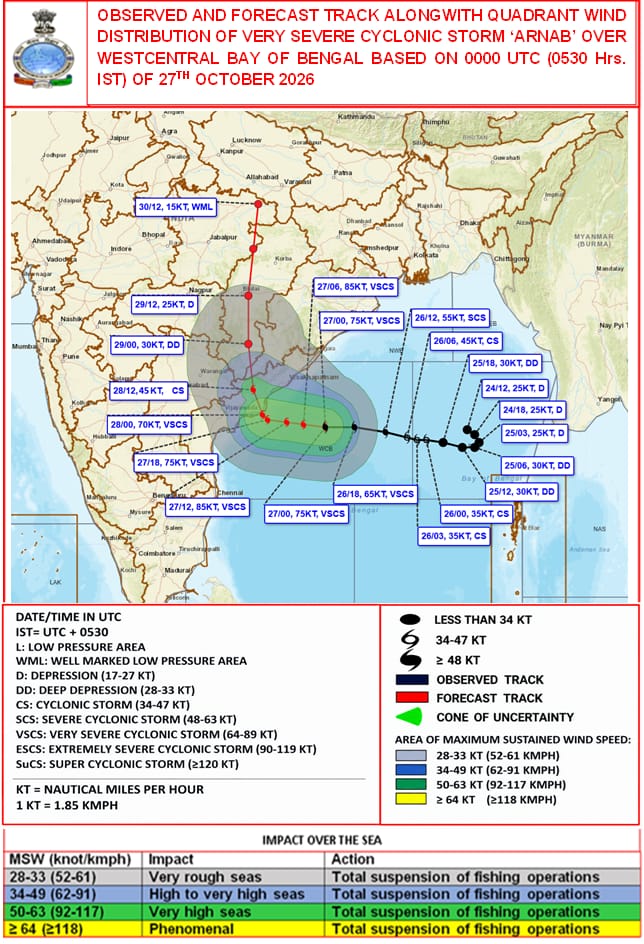
As of 0530 hrs IST, Cyclone ‘Arnab’ was centred near latitude 15.9°N and longitude 84.8°E in the West-Central Bay of Bengal.
The storm’s centre is currently positioned at:
- 260 km southeast of Visakhapatnam (Andhra Pradesh)
- 300 km east-southeast of Kakinada (Andhra Pradesh)
- 380 km south of Gopalpur (Odisha)
- 390 km east of Machilipatnam (Andhra Pradesh)
- 460 km east of Bapatla (Andhra Pradesh)
- 980 km west-northwest of Sri Vijaya Puram (Andaman Islands)

Projected Movement & Landfall Timeline
The IMD forecast indicates a two-phase movement trajectory before landfall:
- Till Evening of Oct 27: The cyclone is very likely to move west-northwestwards across the West-Central Bay of Bengal.
- Post-Evening Recurve: It will shift direction towards the northwest, heading directly for the Andhra Pradesh and Yanam coastline.
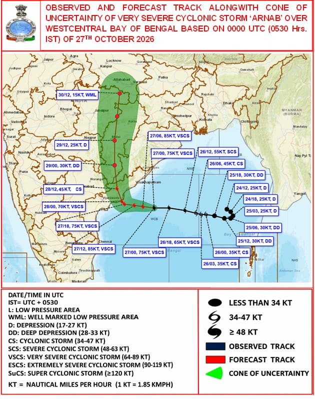
- Landfall Window: The storm is expected to cross the coast between Bapatla and Visakhapatnam, close to Yanam, by the forenoon of Wednesday, Oct 28, 2026.

Wind Speed & Storm Intensity at Landfall
At the time of landfall near Yanam, Cyclone Arnab will maintain its intensity as a Very Severe Cyclonic Storm:
- Maximum Sustained Surface Wind Speed: 115–125 km/h
- Peak Wind Gusts: Up to 140 km/h
With the system coming within 380 km of Gopalpur, coastal and southern districts of Odisha alongside coastal Andhra Pradesh have been put under intense surveillance.
Marine operations have been suspended, and fishermen are strictly advised not to venture into the deep sea or along the West-Central Bay of Bengal.
Local administrations along the Bapatla-Visakhapatnam coastal stretch are mobilising response units to handle potential storm surges, localised inundation, and severe wind damage.