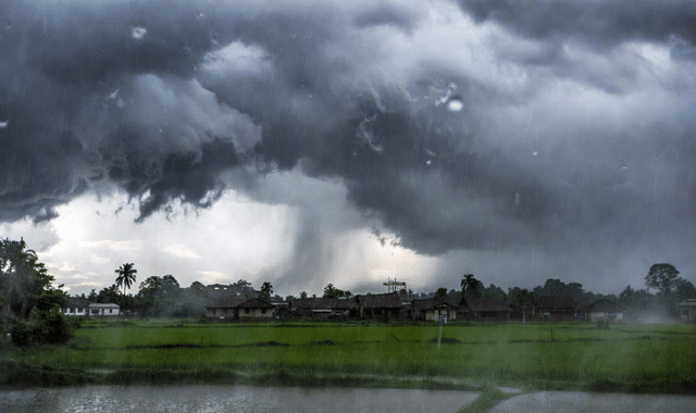
Odisha is staring at another week of relentless monsoon fury. The Regional Meteorological Centre has issued a seven-day heavy rainfall warning for northern interior districts, as active weather systems continue to drench the state.
No major weather system is currently positioned directly over Odisha. However, the monsoon trough — running from Bikaner to the northeast Bay of Bengal at 3.1 km above sea level — remains linked to an active upper-air vortex. This combination has already triggered widespread heavy showers. In the last 24 hours, most parts of the state recorded more than 10 cm of rain, with Athagarh topping the list at a massive 20.6 cm.
Director of the Regional Meteorological Centre, Manorama Mohanty, confirmed that the current pattern is expected to continue for the next seven days, prompting the special alert for northern interior Odisha.
Two trough lines are currently active over the state, adding further fuel to the monsoon. On Wednesday, a fresh vortex formed in the upper atmosphere over the Bay of Bengal. Meteorologists expect it to intensify into a low-pressure area by July 24, which could significantly boost rainfall across the region.
District-wise Yellow Warnings
- Thursday: Heavy rain with lightning expected in Keonjhar, Mayurbhanj, Sundargarh, and Jharsuguda.
- Light to moderate rain with thunder in parts of Baleswar, Bhadrak, Jajpur, Kendrapara, Cuttack, and Jagatsinghpur.
No specific lightning-thunder warning has been issued for Puri district on Friday (Bahuda day). However, coastal districts remain under alert. If the low-pressure system strengthens, heavy rainfall accompanied by thunderstorms is likely along the coast.
Since June 1, Odisha has already received 526.6 mm of rainfall — 17% above normal. Heavy rain was reported in 10 districts in the past 24 hours alone.
Residents in vulnerable areas are advised to stay alert, avoid waterlogged zones, and follow regular updates from the meteorological department.