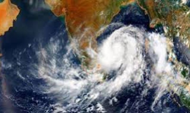
A low‑pressure area has formed over southwest Bengal and adjoining north Odisha, prompting the Regional Meteorological Centre, Bhubaneswar to issue heavy rainfall warnings across the state for the next 24 hours.
The system, associated with a cyclonic circulation extending up to 7.6 km above sea level and tilting southwestward, is expected to bring very heavy rainfall at isolated places for seven days, with widespread showers forecast till August 14.
⚠️ Alerts Issued
- Orange Warning: Baragada, Sambalpur, Jharsuguda, Sundaragada districts.
- Yellow Warning: 19 districts including Malkangiri, Ganjam, Gajapati, Nayagada, Kataka, Jagatsinghpur, Jajpur, Bhadrak, Baleshwar, Dhenkanal, Anugola, Kendujhar, Debagada, Boudhagada, Subarnapur, Balangir, and Nuapada.
- Thunderstorm Alert: Seven districts, with gusty winds of 30–40 km/h and lightning expected.
On Sunday, IMD predicts moderate rainfall in several areas, with heavy showers likely in Sundaragada, Sambalpur, Baragada, and Jharsuguda. Coastal districts including Khordha, Puri, Kataka, Kendrapada, and Mayurbhanj may experience thunderstorms with gusty winds.
🌧️ Rainfall Record
In the past 24 hours, one location recorded very heavy rainfall and 23 places heavy rainfall, with Nayagarh’s Khandapada logging the highest at 124.6 mm, according to meteorologist Dr Rajashree.
The IMD has advised residents to remain cautious in flood‑prone areas, while authorities continue monitoring the evolving weather system.