

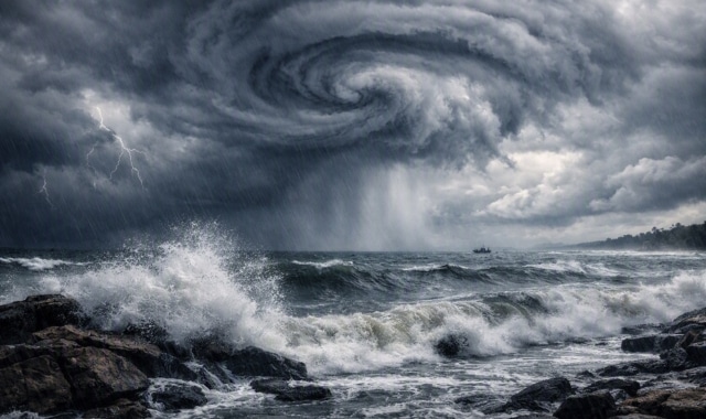
A new low‑pressure area has formed over the northwest Bay of Bengal and adjoining West Bengal–north Odisha coast, triggering forecasts of three days of heavy to very heavy rainfall across the state.
According to IMD and Bhubaneswar Regional Meteorological Centre Director Manorama Mohanty, the system is expected to move northwestward and intensify further within 24 hours.
In the past 24 hours, widespread rainfall has been recorded, with Bansapal in Kendujhar (135.6 mm), Barkot in Debagada (135.2 mm), Tensa in Sundaragada (134.6 mm), Jamankira in Sambalpur (126 mm), and Gurundia in Sundaragadah (124 mm) among the highest. Odisha has already received 953 mm of rainfall since June 1, which is 27% above the normal seasonal average.
The IMD has issued red alerts for Mayurbhanj, Baleshwar, Bhadrak, and Kendujhar, warning of extremely heavy rainfall. Orange alerts are in place for Sundaragada, Jharsuguda, Sambalpur, Debagada, Anugola, Dhenkanal, Jajpur, Kendrapada, Jagatsinghpur, Kataka, and Khordha, while yellow alerts cover other districts.
The sea is expected to remain rough to very rough until August 18, with wind speeds reaching 40–50 kmph, gusting up to 60 kmph. Fishermen have been strictly advised not to venture into the deep sea during this period.
Authorities have urged residents in vulnerable districts to remain alert, while farmers and the general public have been advised to avoid exposure during thunderstorms and lightning.