
The India Meteorological Department (IMD) has forecast the formation of a low-pressure system over the north-west and adjoining west-central Bay of Bengal within the next 48 hours, set to trigger widespread rainfall across Odisha until August 17.
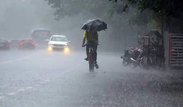
The Regional Weather Centre in Bhubaneswar has issued alerts for thunderstorms and heavy rain, with specific warnings for southern and interior parts of the state.
According to Manorama Mohanty, Director of the Regional Weather Centre, an orange warning has been issued for Koraput and Malkangiri districts for August 12 and 13, anticipating very heavy rainfall. A yellow warning is in place for 28 other districts, including Nabarangpur, Kalahandi, Rayagada, Ganjam, Gajapati, and Kandhamal, where heavy rain and thunderstorms are expected. The remaining 22 districts are also under a yellow warning for rain accompanied by lightning.
The past 24 hours have already seen significant rainfall, with Daitari in Keonjhar district recording the highest at 15.8 cm. Tikabali in Kandhamal recorded 9.5 cm, and Jajpur in Balasore saw 7.5 cm. Additionally, 29 other locations across Odisha reported rainfall between 1 and 6 cm.
The IMD predicts that the low-pressure system will intensify monsoon activity, particularly in southern Odisha, on Tuesday and Wednesday. Coastal and interior regions are likely to experience intermittent heavy showers and thunderstorms. Since June 1, Odisha has recorded 653.6 mm of rainfall, 5% below the normal 686.8 mm. Districts like Sundargarh, Deogarh, Keonjhar, and Mayurbhanj have seen below-normal rainfall, with 10 districts facing a rainfall deficit and 16 others recording normal levels.
Authorities have urged residents to stay vigilant, especially in low-lying areas prone to flooding, and to avoid open fields during thunderstorms. Fishermen have been advised to exercise caution due to rough sea conditions expected along the coast.


