
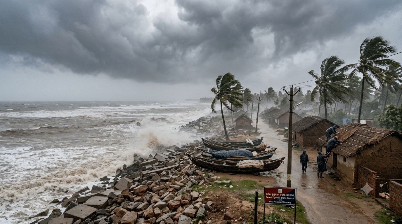
Cyclonic Storm ‘Murasu’ over the west-central and adjoining southwest Bay of Bengal has intensified into a severe cyclonic storm.
According to an official bulletin issued by the India Meteorological Department (IMD) early Monday morning, the system is tracking northwestwards and is anticipated to make landfall along the south Andhra Pradesh coast between Nellore and Narsapur, close to Ongole, between late Monday night (November 2) and the early hours of Tuesday (November 3).
At the time of landfall, the severe storm is expected to sustain wind speeds between 100 and 110 kmph, with squally gusts reaching up to 120 kmph.
Odisha Weather Forecast and District Alerts
While the primary point of impact remains centred on coastal Andhra Pradesh, the peripheral system of Severe Cyclone Murasu will trigger adverse weather conditions across widespread regions of Odisha. The weather agency has warned of heavy rainfall, lightning strikes, severe squalls, and gusty winds throughout Monday.
-
Heavy Rainfall Warnings: The IMD has issued a focused rainfall warning for isolated places in Gajapati and Ganjam districts.
-
Severe Wind & Lightning Alerts (40–50 kmph, gusting to 60 kmph): Isolated locations across Rayagada, Koraput, Malkangiri, Gajapati, Ganjam, Puri, and Khordha districts are likely to experience severe thunderstorms accompanied by lightning and high-velocity wind gusts.
-
Moderate Wind & Thunderstorm Warnings (30–40 kmph, gusting to 50 kmph): Alert advisories for lightning and squally winds have been extended to Baleshwar, Bhadrak, Jajpur, Kendrapada, Jagatsinghpur, Kataka, Kendujhar, Mayurbhanj, Kalahandi, Kandhamala, Nabarangpur, and Nayagada districts.
Disaster response teams and local administrations across southern and coastal districts of Odisha remain on standby to mitigate potential waterlogging, tree falls, and localised disruptions. Fishermen and coastal residents have been strongly advised to avoid venturing into sea waters along and off the Odisha-Andhra coastline until conditions normalise.