

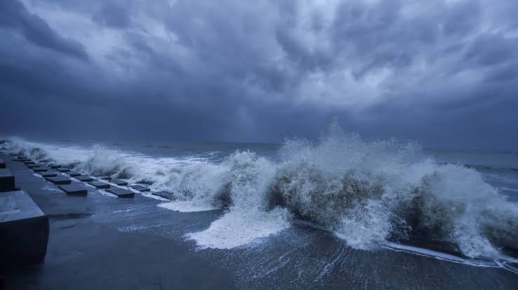
Odisha’s recent stretch of dry, sunny weather is set to give way to wet conditions as the India Meteorological Department (IMD) predicts the formation of a fresh low-pressure area over the Bay of Bengal.
According to the Regional Meteorological Centre, the weather system is expected to form over the southeast Bay of Bengal around November 13. Moving in a north-westerly direction, the system is likely to become more marked over the subsequent 24 hours, bringing scattered rainfall back to several districts across the state.
Short-Term District Forecast: Light Showers Ahead
Ahead of the main low-pressure system, localised rainfall activity is expected across northern and coastal belts:
-
November 10: Light rainfall is likely at one or two places in Mayurbhanj, Kendujhar, Baleshwar, and Bhadrak districts.
-
November 11: Rain activity will expand across Mayurbhanj, Kendujhar, and parts of north coastal Odisha.
-
November 12: Light showers are expected to persist at isolated spots in Mayurbhanj and Kendujhar.
Winter Chill set to Intensify
Along with precipitation, the upcoming atmospheric shifts will accelerate the seasonal cooling trend. Meteorologists forecast that night temperatures across Odisha are likely to drop by 2 to 3 degrees Celsius, signalling a sharper onset of winter conditions as light showers clear out. Residents and farmers are advised to keep an eye on official IMD updates as the Bay of Bengal system develops further.