
The Regional Meteorological Centre, Bhubaneswar, has forecast that winter will tighten its grip on Odisha after four days as night temperatures are likely to drop by 2–3°C across the state.
The change in weather patterns is linked to a low-pressure system currently active over the southwest Bay of Bengal. The well-marked low-pressure area, named “DITWAH”, has moved northwards at 5 kmph during the past six hours. It is lying parallel to the north Tamil Nadu-Puducherry coast. The system is expected to concentrate into a depression by Monday morning. It will remain about 30 km off the north Tamil Nadu-Puducherry coast.
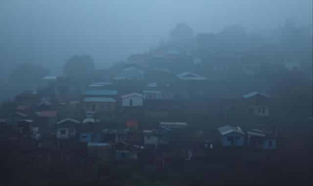
Due to its influence, cold conditions have temporarily eased in Odisha. This has resulted in a slight rise in night temperatures and widespread fog. In the last 24 hours, the hill station Daringbadi recorded the state’s lowest temperature of 10°C. Meanwhile, Rourkela in the plains logged 10.6°C. Dense fog was reported in Rourkela and light fog in Bhavanipatna, meteorologist Rajshree VPM of IMD Bhubaneswar said.
The state will continue to experience dry weather with no possibility of rain till December 7. However, dense fog warnings have been issued for Sundargarh, Kandhamal and Koraput districts on the morning of December 1, where visibility may drop to 50 metres or less.
According to the latest forecast, there will be no significant change in minimum temperature for the next four days. However, from December 5 onwards, night temperatures are expected to fall by 2–3°C in most parts of Odisha. This will mark the return of intense winter chill.


