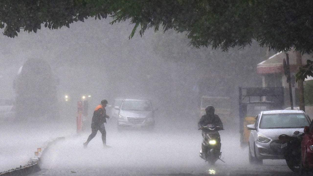
The India Meteorological Centre (IMD) has predicted heavy rainfall in parts of Odisha due to an active low-pressure area over the Bay of Bengal.
According to the IMD forecast, the low pressure area over central and adjoining north Bay of Bengal moved nearly northwards and now lies as a Well-Marked Low Pressure Area over the northwest and adjoining central Bay of Bengal at 0830 hrs IST of today, the 7th September, 2024.
The associated cyclonic circulation extends upto 7.6 km above mean sea level tilting southwestwards with height. It is likely to move nearly northwards and intensify into a Depression over northwest Bay of Bengal off North Odisha-Gangetic West Bengal coasts on 8th September.
Thereafter, it is likely to move west-northwestwards across Gangetic West Bengal, north Odisha, Jharkhand and adjoining north Chhattisgarh during the subsequent 3 days.
IMD Forecast for the next five days:
Day-1:(Valid up to 0830 Hrs IST of 08.09.24):
Light to moderate rain/thundershower very likely to occur at most places over the districts of south Odisha, at many places over the districts of north coastal Odisha and at a few places over the districts of north interior Odisha.
Day-2:(Valid from 0830 Hrs IST of 08.09.24 to 0830 Hrs IST of 09.09.24)
Light to moderate rain/thundershower very likely to occur at most places over the districts of south Odisha, north coastal Odisha and at many places over the rest districts of Odisha.
Day-3 & Day-4:( Valid from 0830 Hrs IST of 09.09.24 to 0830 Hrs IST of 11.09.24):
Light to moderate rain/thundershower very likely to occur at most places over the districts of Odisha.
Day-5:( Valid from 0830 Hrs IST of 11.09.24 to 0830 Hrs IST of 12.09.24):
Light to moderate rain/thundershower very likely to occur at most places over the districts of north Odisha and many places over the districts of south Odisha.
- Flash flood/Water logging in low lying areas, inundation of agriculture field, Mudslides/landslides in vulnerable hilly areas.
- Possibility of some damage to informal/Kutcha road, wall collapsed of vulnerable kutcha houses.
- Poor visibility during intense spell of rain and traffic congestion in urban areas.
- Some damages to kutchha Road and possibility of wall collapsed of vulnerable kutchha houses. Some damages to vegetables and horticultural crops likely.
- Avoid staying in vulnerable kutchha houses. Advisory on traffic congestion may be followed before leaving for your destination.
- Arrangement for drainage of excess water from nursery bed, preparations for sowing
Wind Warning: Squally weather with strong surface wind speed reaching 40-50 kmph gusting to 60 kmph is very likely to prevail over northwest Bay of Bengal adjoining West Central Bay of Bengal, along & off Odisha coasts during 8th to 11th September, 2024.
Fishermen Warning: Fishermen are advised not to venture into sea along & off Odisha coast, northwest Bay of Bengal and adjoining West central Bay of Bengal during 8th to 11th September 2024.


