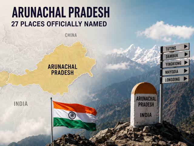
India has formally identified 27 locations and geographical features in Arunachal Pradesh using their standard names on official Survey of India maps, in a move seen as a response to China’s repeated attempts to rename places in the northeastern state.
The Ministry of Home Affairs (MHA) said the identification of the locations was carried out in consultation with the Arunachal Pradesh government. The move is aimed at ensuring accurate recognition of the places and improving public awareness of their official names.
The 27 features include 21 land areas, four mountain passes, one lake and a memorial.
Which 27 Arunachal Pradesh locations has India identified?
The places and geographical features identified on the official Survey of India map include:
Four passes
- Dzo La
- Riza La
- Pukur La
- Thag La
21 land areas
- Longju
- Maja
- Bisa
- Bara Kundun
- Chhota Kundun
- Dhan Bari
- Pritnagar
- Buddhamandir
- Jairampur
- Teritnagar
- Ramnagar
- Jaswant Garh
- Sagar
- Padma
- Jyotinagar
- Baisakhi
- Chhota Ropuk
- Bara Ropuk
- Shivaji Nagar
- Sunpura
- Kamlang Nagar
Memorial
- Sher-e-Thapa Memorial
Lake
- Sambho Sarovar
Why are these Arunachal Pradesh locations significant?
Some of the locations have historical and strategic importance along the India-China border.
Longju, situated near the Line of Actual Control (LAC), was the site of an early India-China border confrontation in 1959.
Thag La is another strategically important location. The high-altitude pass was associated with the opening phase of the 1962 India-China war.
The Sher-e-Thapa Memorial is also among the locations formally identified by India.
By recording these names on official maps, the government aims to provide a standard reference for the locations and strengthen public awareness of their geographical identity.
India counters China’s renaming of Arunachal Pradesh places
China has repeatedly announced what it describes as standardised names for locations in Arunachal Pradesh, which Beijing refers to as “Zangnan”.
India has consistently rejected China’s attempts to rename places in the state, maintaining that Arunachal Pradesh is an integral part of India.
China issued its first list of standardised names for six locations in Arunachal Pradesh in 2017. It followed this with a list of 15 locations in 2021 and another list containing 11 locations in 2023.
India’s latest move to identify 27 locations on official Survey of India maps comes against this backdrop.
Arunachal Pradesh remains a key India-China border region
Arunachal Pradesh shares a long and sensitive border with China and remains an important part of India’s border security framework.
The latest development also comes amid continuing discussions between India and China on unresolved border issues, including developments along the LAC.
Meanwhile, Arunachal Pradesh Chief Minister Pema Khandu has dismissed recent reports of a Chinese incursion into the state.
Khandu said the Indian Army remains deployed in the region and is maintaining the country’s territory. He also said he would speak with local communities and the Army to understand the situation.
India’s formal identification of the 27 Arunachal Pradesh locations therefore carries both geographical and strategic significance, while reinforcing the country’s position on the state’s territorial status.