The India Meteorological Department (IMD), Bhubaneswar, has reported the formation of a Low Pressure Area over Gangetic West Bengal and adjoining north Odisha under the influence of a cyclonic circulation.
This system, extending up to 7.6 km above mean sea level and tilting southwestward, is expected to move west-northwestwards across Jharkhand and north Chhattisgarh over the next 2–3 days. The monsoon trough remains active and is currently passing through key regions across northern India into the northeast Bay of Bengal.
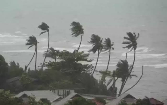
The southwest monsoon is active over Odisha, with extremely heavy rainfall reported in Jharsuguda, Sambalpur, and Sundargarh, while very heavy rains lashed parts of Keonjhar, Angul, and Bargarh. Deogaon in Jharsuguda recorded the highest rainfall at 31 cm, followed by Bamra (29 cm) and Laikera (27 cm).
Forecast & Warnings:
-
Day 1 (Till July 7 Morning):
-
Red Warning: Extremely heavy rainfall likely in Mayurbhanj, Keonjhar, Sundargarh, Sambalpur
-
Orange Warning: Very heavy rain in Jharsuguda, Bargarh, Balangir, Sonepur, and 7 other districts
-
Yellow Warning: Heavy rain in Kendrapara, Jagatsinghpur, Cuttack, and 8 other districts
-
-
Day 2 (July 7–8):
-
Orange Warning: Very heavy rain in 7 districts including Keonjhar, Angul, Jharsuguda
-
Yellow Warning: Thunderstorms & heavy rain in Balangir, Kandhamal, Cuttack, among others
-
-
Day 3 to Day 7 (July 8–13):
-
Heavy rain likely to persist in various districts including Kalahandi, Bargarh, Sundargarh, Keonjhar, Mayurbhanj under Yellow Warnings
-
IMD Impact Assessment & Advisories:
Affected districts may experience:
-
Crop damage (especially banana, papaya)
-
Tree falls, damage to kutcha houses, roads, and embankments
-
Local flooding and landslides
-
Disruption in road, rail, and air transport
Public Advisory:
-
Stay indoors during heavy rain and thunderstorms
-
Avoid shelter under trees and unplug electrical appliances
-
Check traffic advisories before travel
-
Avoid fishing and coastal/marine activities in affected regions
The IMD advises close monitoring of weather updates and compliance with safety protocols for public and infrastructure resilience.


