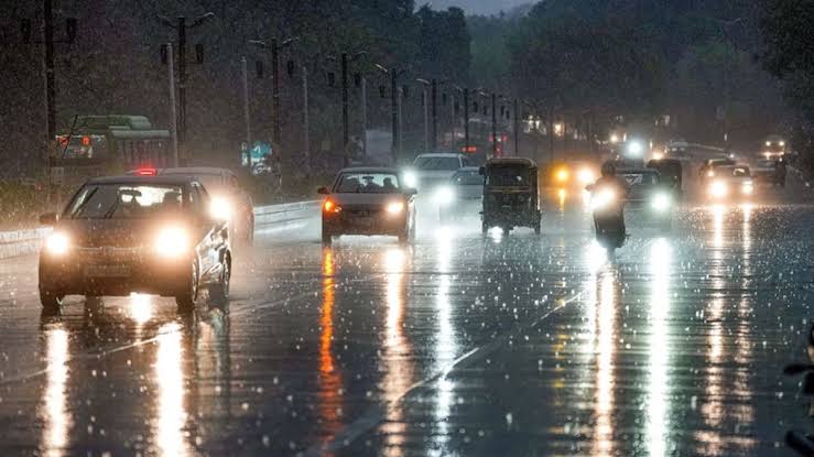
The India Meteorological Department (IMD) has issued an orange alert for parts of northern Odisha, warning of intense rainfall, thunderstorms, and strong winds over the next 72 hours.
The warning comes amid the formation of an active low-pressure system over the Bay of Bengal and adjoining regions.
High-Risk Districts on Alert
The orange alert specifically covers Sundargarh, Mayurbhanj, and Keonjhar, where heavy to very heavy rain, lightning, and gusty winds ranging from 30–40 km/h are expected. These areas may experience localized flooding, waterlogging, low visibility, and disruption to transportation and outdoor activities.
Yellow Alert for Six Other Districts
Additionally, Dhenkanal, Angul, Deogarh, Sambalpur, Jharsuguda, and Bargarh have been placed under a yellow alert, indicating possible isolated heavy showers and thunderstorms. Residents are advised to remain cautious, particularly in rural areas vulnerable to lightning strikes and falling trees.
Cause of the Weather Disturbance
According to the IMD’s midday bulletin on Tuesday, the low-pressure area is situated over Gangetic West Bengal, northern Odisha, Jharkhand, and surrounding regions. It is being reinforced by a cyclonic circulation that extends up to 5.8 km above sea level, and is moving west-northwest towards Jharkhand in the next 24 hours.
This system is significantly boosting monsoon activity across Odisha, leading to widespread rainfall across both interior and coastal districts. Most interior areas are likely to receive light to moderate rain or thundershowers, while coastal districts may see scattered showers.
Precautionary Advice
The IMD has urged residents in orange alert zones to stay indoors, avoid low-lying areas, and limit travel unless necessary. Those in yellow alert districts are advised to be cautious of sudden storms, possible power outages, and infrastructure damage, especially in vulnerable rural areas.
The state government and local administrations are expected to remain on high alert and issue further advisories as needed.


