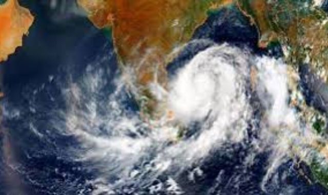
A low-pressure area has formed over the Bay of Bengal, triggering concerns of heavy rainfall across Odisha.
According to the India Meteorological Department (IMD), the system is expected to intensify over the next 48 hours, leading to widespread showers and thunderstorms.
Under the influence of this weather system, Odisha is likely to experience intense rainfall until May 30, providing relief from the scorching summer heat while also facilitating the early arrival of the southwest monsoon. The IMD has issued a yellow warning for 15 districts, including Malkangiri, Koraput, Rayagada, Gajapati, Ganjam, Puri, Khurda, Nayagarh, Kandhamal, Boudh, Sonepur, Balangir, Nuapada, Kalahandi, and Nabarangpur.
Additionally, gusty winds reaching speeds of 30–40 km/h may accompany thunderstorms in these regions. The IMD has advised residents to take necessary precautions and stay updated with official weather alerts.
While the low-pressure system does not pose a cyclone threat, its strengthening could create favourable conditions for the southwest monsoon to advance into Odisha following its onset in Kerala on May 24.
The Odisha Special Relief Commissioner (SRC) has issued a directive urging all district collectors to remain vigilant due to the formation of a low-pressure area over the Bay of Bengal.
The SRC has instructed officials in districts under orange and yellow warnings to keep emergency response mechanisms ready. “Submit a report on any damage caused by the adverse weather conditions immediately for government review,” the SRC stated in an official communication.
Fishermen have been advised to avoid venturing into the sea, while residents are urged to take necessary precautions to protect themselves from lightning and strong winds.
Authorities have reiterated the importance of staying informed and following official safety guidelines.


