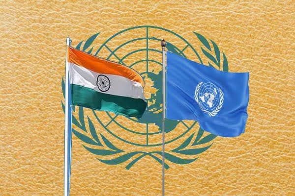
India has backed a United Nations resolution promoting the use of an “Equal Earth” map projection, while making it clear that the vote should not be interpreted as acceptance of any inaccurate depiction of its national boundaries.
The Ministry of External Affairs issued the clarification on Sunday after the UN General Assembly voted in favour of a resolution aimed at promoting more balanced and accurate cartographic representation of the world.
MEA spokesperson Randhir Jaiswal said India voted for the resolution while stressing the “underlying principle of promoting equal-area cartographic representation.”
The ministry also clarified that the resolution does not endorse any particular map, projection or depiction of national boundaries.
What is the Equal Earth map?
The Equal Earth projection is a world map design intended to represent the relative areas of continents more accurately than some commonly used map projections.
The UN resolution described the Equal Earth cartographic projection as a relevant option for improving the accuracy of how the world’s landmasses are represented.
The initiative was spearheaded by several African countries, which have argued that conventional world maps can distort the relative size of continents.
India flags boundary depiction
While supporting the broader principle behind the resolution, India stressed that its vote should not be interpreted as approval of any specific representation of its territory.
The MEA’s clarification is particularly relevant to Jammu and Kashmir and Ladakh, whose territorial depiction has been a longstanding issue for New Delhi.
India maintains that Jammu and Kashmir and Ladakh are integral parts of the country and has consistently objected to maps or representations that show its territories inaccurately.
The ministry’s statement therefore separates India’s support for equal-area cartography from the question of how individual countries’ national boundaries are depicted.
UN General Assembly vote
The resolution received support from 164 countries at the UN General Assembly.
The United States voted against the resolution, while six countries abstained.
The initiative seeks to encourage cartographic representations that provide a more accurate visual comparison of the size of different continents, particularly Africa.
India’s vote was accompanied by its explicit clarification that support for the resolution’s cartographic principle does not constitute endorsement of a particular map or territorial depiction.