
A deep depression over the southeast Bay of Bengal has intensified and is expected to evolve into Cyclone Montha, posing significant risks to coastal and southern Odisha.
The storm is currently located approximately 670 km west of Port Blair (Andaman & Nicobar Islands), 720 km east-southeast of Chennai (Tamil Nadu), 780 km southeast of Kakinada (Andhra Pradesh), 790 km south-southeast of Visakhapatnam (Andhra Pradesh) and 900 km south-southeast of Gopalpur (Odisha).
According to the Bhubaneswar Regional Meteorological Centre, the system is projected to become a cyclonic storm by the evening of October 26 over the southwest and adjoining west-central Bay of Bengal. It will further intensify into a severe cyclonic storm by the morning of October 28, moving north-northwest and making landfall between Machilipatnam and Kalingapatnam in Andhra Pradesh during the evening/night of October 28. At landfall, sustained winds are forecasted to reach 90-100 kmph, with gusts up to 110 kmph.
The cyclone’s impact on Odisha is anticipated to be substantial, particularly in the southern districts, with heavy to extremely heavy rainfall and strong winds from October 27 onward. Manorama Mohanty, Director of the Bhubaneswar Regional Meteorological Centre, stated that the storm will weaken after landfall but continue to affect Odisha as it moves inland through Malkangiri district on October 29. By October 30, it is expected to downgrade to a depression.
Rainfall and Wind Warnings Issued
The meteorological centre has issued a red warning for heavy rainfall and winds on October 28 for Malkangiri, Koraput, Rayagada, Ganjam, and Gajapati districts, where rainfall could reach 7-20 cm accompanied by winds of 60-80 kmph. An orange warning has been issued for Nabarangpur, Kalahandi, Kandhamal, Nayagarh, Khordha, and Puri, with winds up to 50-70 kmph. Yellow warnings cover the remaining 17 districts.
On October 29, the red warning persists for Malkangiri, Koraput, Nabarangpur, Kandhamal, and Rayagada for extremely heavy rain, and for Malkangiri, Koraput, Rayagada, Gajapati, and Ganjam for strong winds. Five districts are under red alert, six under orange, and 19 under yellow. Rainfall is expected to decrease by October 30, with warnings limited to six districts, and fully subsiding by November 1.
From October 27, orange warnings are in place for Malkangiri, Koraput, Nabarangpur, Kalahandi, Rayagada, Gajapati, Ganjam, and Kandhamal, with yellow warnings for Nuapada, Bolangir, Boudh, Nayagarh, Khordha, Puri, Cuttack, Kendrapara, and Jagatsinghpur.
Government and District Preparations
In response, the Odisha government has swung into action. Revenue Minister Suresh Pujari chaired a review meeting, directing all district collectors to remain vigilant, especially in 15 high-impact districts. Alerts have been issued statewide, with emphasis on southern Odisha.
Fishermen have been advised against venturing into the sea until October 29, and a red warning for rain and winds has been emphasised. In Chilika Lake, boat operations, including fishing and passenger boats, are banned from October 26 to 28. Fishermen already in the lake are urged to return, and boats must be secured.
In Gajapati district, Collector Madhumita has declared schools and anganwadi centres closed until October 30. Red alerts are in effect, with senior officers appointed as nodal officials in seven blocks and two urban areas. 24/7 control rooms operate in every panchayat, temporary cyclone shelters are ready, and pregnant women are being relocated from vulnerable areas. Two ODRAF and NDRF teams have been requested. Residents are advised to stay indoors unless essential, with public announcements via microphones.
Puri district, though not directly in the landfall path, is preparing for heavy rains. Collector Dibyajyoti Parida has cancelled leaves for all government officials until October 30 and is conducting frequent reviews. Sea bathing is restricted until October 29 due to rough seas, with lifeguards on high alert. Over 8,924 polythene packets are distributed across tehsils, with additional stocks in warehouses, including 187 quintals of flattened rice, 172 quintals of jaggery, and other food items. 179 shelter centres are prepared, and a 24/7 control room is operational (contact: 1077 or 06752-223237). Lifeguards, equipped with oxygen cylinders, stretchers, and rescue tubes, are deployed along the beach to prevent drownings.
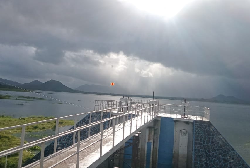
The Water Resources Department has cancelled leaves for officials in 14 districts and is monitoring reservoirs. In Gajapati and Rayagada, Harabhangi and Badanala reservoirs have been reduced to 90% capacity, with further drawdowns if needed.
Impact on Farmers and Past Cyclones
Farmers in southern Odisha, particularly in Nabarangpur, are anxious as the cyclone threatens standing crops like maize and paddy. Many are rushing to harvest and store produce safely, fearing heavy rains could destroy yields. This comes amid memories of past October cyclones that devastated Odisha, including the 1999 Super Cyclone, 2013 Phailin, 2014 Hudhud, 2018 Titli, and 2019 Fani. Concerns are raised about the deteriorating condition of cyclone shelters built post-1999, many now in disrepair due to poor maintenance.
Rescue and Relief Efforts
To aid Andhra Pradesh, where landfall is expected, two NDRF teams from Odisha have been deployed— one to Srikakulam and two to Visakhapatnam—each comprising 3 officers and 32 jawans, equipped for disaster response. Odisha’s 16 remaining NDRF teams are on standby at Mundali.
Urban Development Minister Krushna Chandra Mohapatra assured that the government is fully prepared, with Chief Minister personally overseeing operations. Flood-prone areas are under watch, generators ensure uninterrupted power, and cooked food is stockpiled for affected residents.
While the cyclone will primarily impact Andhra Pradesh, Odisha braces for widespread disruptions, urging residents to heed warnings and stay safe.


