
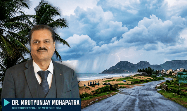
Another cyclonic circulation is likely to form over the Bay of Bengal, according to indications given by Dr Mrutyunjay Mohapatra, Director General of the India Meteorological Department (IMD).
This information comes from the 15-day extended-range weather forecast released on Thursday.
Typically, around five cyclones form in the Bay of Bengal during the months of October, November, and December. However, three cyclones have already formed so far this year. The DG noted that such a situation has occurred for the first time since 1987, which could be attributed to the impact of a strong El Niño. Explaining the phenomenon, he stated that El Niño brings changes in atmospheric and oceanic conditions, influencing the movement and behaviour of weather systems.
No specific forecast has been issued yet regarding the exact location, intensity, or trajectory of this potential cyclonic circulation. It is too early to predict where it will originate, which direction it will move, or how strong it might become. Therefore, Dr Mohapatra has advised keeping a close watch on upcoming bulletins from the meteorological department.
Meanwhile, the remnant of Cyclone ‘Akvan’ has weakened into a well-marked low-pressure area over Odisha. It is likely to move northwards and weaken further, though it may trigger rainfall over the next few days. The DG reiterated that the potential intensification of the new system can only be assessed once it forms.
Residents of coastal states—particularly Odisha, Andhra Pradesh, and West Bengal—have been urged not to panic and to rely solely on official updates from the weather department. Fishermen have also been advised to remain cautious and monitor sea conditions. Dr. Mohapatra assured that the IMD is continuously monitoring the situation and will release timely updates as new information becomes available.