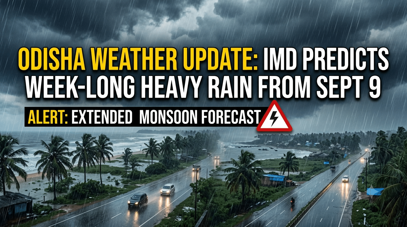
Odisha is gearing up for a week of overcast skies and widespread precipitation. Although no major weather system is directly active over the state at present, an active trough line in neighboring states continues to trigger rainfall across several regions.
According to the Regional Meteorological Centre in Bhubaneswar, while the current intensity and spread of rain remain relatively low, light to moderate showers will persist for the next three days before heavy rainfall resumes in full force from September 9.
24-Hour Forecast and Yellow Warnings
Over the next 24 hours, light to moderate rain or scattered thunderstorm activity accompanied by lightning and gusty surface winds reaching 30 to 40 km/h is expected across 23 districts. Only seven districts—Kandhamal, Kalahandi, Nabarangpur, Nuapada, Balangir, Sonepur, and Boudh—have been excluded from this immediate heavy activity warning.
For Monday, the Meteorological Centre has issued a Yellow Warning for 17 districts: Gajapati, Ganjam, Khordha, Puri, Nayagada, Jagatsinghpur, Kataka, Kendrapada, Bhadrak, Baleshwar, Jajpur, Dhenkanal, Anugola, Kendujhar, Mayurbhanj, Debagadah, and Sundaragada. These areas are expected to experience light to moderate rain paired with wind speeds of 30 to 40 km/h.
Similar conditions with widespread lightning and thunder are anticipated on Tuesday across coastal, northern, and western districts, including Sambalpur, Jharsuguda, and Baragada.
Heavy Rain Surge Starting September 9
Rainfall intensity is set to escalate significantly from September 9 onward:
- September 9: Heavy downpours are projected to begin. A Yellow Warning for heavy rainfall has been issued for Baleshwar, Mayurbhanj, and Kendujhar, while moderate rain will cover coastal and southern districts including Sundaragada, Bhadrak, Jajpur, Kendrapadra, Kataka, Jagatsinghpur, Khordha, Puri, Nayagada, Ganjam, and Gajapati.
- September 10: The volume of rain will expand, with heavy rain warnings active for Kataka, Kendrapada, Jajpur, Bhadrak, Mayurbhanj, and Kendujhar.
- September 11: Heavy rainfall will spread across 17 districts—including Ganjam, Gajapati, Puri, Khordha, Nayagada, Kandhamal, Boudh, Jajpur, Kendrapada, Kataka, Jagatsinghpur, Anugola, Bhadrak, Baleshwar, Mayurbhanj, Kendujhar, and Dhenkanal—all under Yellow Warnings.
Monsoon Performance So Far
Over the past 24 hours, scattered light to moderate rain along with isolated heavy downpours were recorded across the state. The highest rainfall was recorded at GB Nagar in Mayurbhanj district at 66 mm.
Overall monsoon figures indicate that Odisha has received 1,175.5 mm of cumulative rainfall from June 1 to date, compared to the normal average of 973.9 mm—reflecting a 21 percent surplus nationwide. However, regional disparities remain, with Gajapati and Nabarangpur districts continuing to experience deficit rainfall for the season.