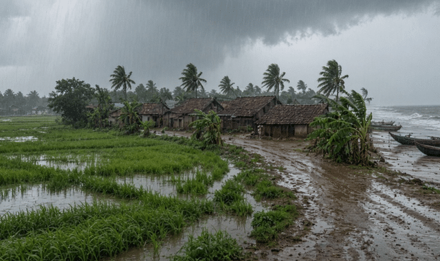
A well-marked low-pressure area that formed Sunday morning is set to dump very heavy rain across Odisha for the next two days, the Regional Meteorological Centre said, issuing a red warning for Baragada and advising fishermen to stay off the sea.
Regional Met Centre Director Manoroma Mohanty said the system evolved from a cyclonic circulation that developed Friday and intensified overnight. Its influence will keep rainfall intense through Sunday and Monday, with Bargarh facing the highest risk.
In the last 24 hours, northern Odisha and several coastal districts already recorded heavy to very heavy rain. Rajghat in Balasore logged the highest total at 156.2 mm. Kusumi in Mayurbhanj and Lathikata in Sundargarh also crossed 100 mm.
The sea will remain very rough for another 24 hours. Winds over the water are expected at 40–50 kmph, with gusts touching 60 kmph. On land, speeds of 30–50 kmph are likely. Deep-sea fishing has been prohibited, and fishermen have been told not to venture toward the Odisha coast.
Warnings at a glance
- Sunday–Monday: Red warning for Bargarh for very heavy rain. Orange warning for 10 border districts. Yellow warning for coastal and remaining districts, with thunder, lightning, 30–50 kmph winds and heavy rain.
- Tuesday: Rain continues. No warning for coastal districts. Orange warning for Bargarh, Sundargarh and Jharsuguda (thunder with heavy rain). Yellow warning for 15 districts (heavy rain with isolated thunder).
- Wednesday–Thursday: Yellow warning for Sundargarh, Mayurbhanj and Keonjhar for heavy rain.
- Through September 5: Statewide cloudy skies with light to moderate rain. No district-level warnings issued for that period, though officials still urged caution after two days of very heavy rain.
Mohanty advised residents in alert zones to stay alert for waterlogging, overflowing streams and strong winds, and to follow official updates.