
A Low Pressure Area has formed over Gangetic West Bengal and its neighbouring regions, influenced by an active upper air cyclonic circulation over Gangetic West Bengal and adjoining Bangladesh.
As of 8:30 PM IST on Friday, August 22, 2025, this system, extending up to 7.6 km above mean sea level and tilting southwestwards, is expected to move west-northwest across Jharkhand within the next 24 hours, gradually weakening thereafter, according to the India Meteorological Department (IMD).
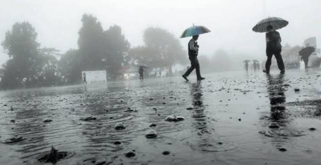
The Regional Meteorological Centre in Bhubaneswar, led by Director Manorama Mohanty, has issued a warning for heavy to very heavy rainfall across northern and interior Odisha until August 26, accompanied by thunderstorms and lightning. The Low Pressure Area, combined with a monsoon trough extending from Suratgarh to the northeast Bay of Bengal, is driving intense weather activity in the state.
On Saturday, a yellow warning for heavy rainfall has been issued for Mayurbhanj, Keonjhar, and Sundargarh districts, while 17 other districts are under a yellow warning for rainfall with thunderstorms and lightning. Over the past 24 hours, Jharsuguda recorded the highest rainfall in the state at 10.9 cm, with heavy to very heavy rainfall reported in parts of Sundargarh, Jharsuguda, Keonjhar, Sambalpur, Balangir, Bargarh, Sonepur, Deogarh, and Mayurbhanj.


