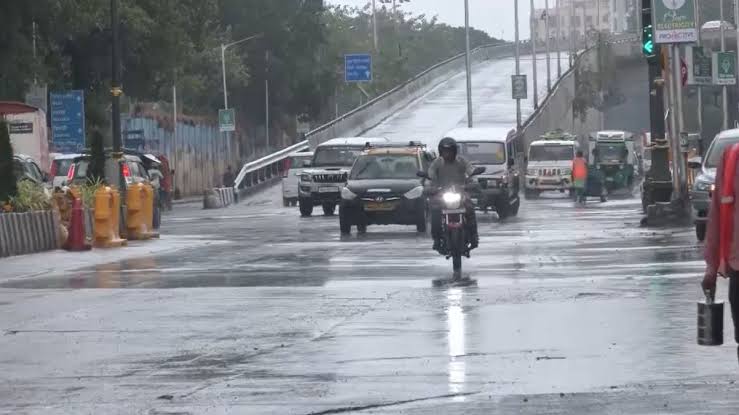
Heavy rainfall battered Mumbai late Sunday night and early Monday, prompting the India Meteorological Department (IMD) to issue red and orange alerts across various city zones.
The rains triggered severe waterlogging in several areas, disrupting traffic and daily movement.
According to the IMD, eight weather stations—Borivali, Santacruz, Powai, Mulund, Chembur, Worli, Colaba, and Alibag—are under red alert, indicating extremely heavy rainfall. Navi Mumbai, Thane, and Kalyan have been placed under orange alert, while Raigad district also faces a red alert due to expected thunderstorms, gusty winds, and very heavy rain.
Forecast and Weather Conditions
-
Today’s Weather: “Generally cloudy sky with heavy rain.”
-
Temperature: Minimum around 24°C, maximum around 31°C.
-
Nowcast Warning: Moderate thunderstorms and heavy rain likely to continue over the next few hours.
-
Monsoon Update: The southwest monsoon made an early onset in Maharashtra on Sunday, the earliest in 35 years, advancing rapidly from Kerala where it arrived ahead of schedule on Saturday.
A well-marked low-pressure area over South Madhya Maharashtra and adjoining Marathwada and North Interior Karnataka is driving the weather pattern. It is expected to move eastwards and gradually weaken over the next 24 hours.
The IMD has forecast consistent rainfall throughout the week, particularly affecting the Konkan and Goa region, Madhya Maharashtra, and extending towards eastern India.
Monsoon expert M. Rajeevan noted the current weather pattern resembles that of 1971, when large areas of Karnataka and Maharashtra were covered during the onset. Active monsoon conditions are expected to persist till June 2, aiding further monsoon advancement.


