Bhubaneswar: The Well Marked Low Pressure area over Eastcentral & adjoining Northeast Bay of Bengal has concentrated into a depression and lay centered over east-central and adjoining northeast BoB at 590km east southeast of Puri and 740 km east of Kalingapatnam at 5.30 PM of 24th September 2021.
It is likely to intensify into a Deep Depression during the next 12 hours and intensify further thereafter. It is likely to move initially west-northwestwards during the next 24 hours and west-southwestwards thereafter and cross south Odisha–north Andhra Pradesh coasts between Vishakhapatnam & Gopalpur around Kalingapatnam by the evening of 26th September 2021, the communiqué stated.
The IMD has further stated that a cyclonic circulation is likely to develop over Northeast & adjoining Eastcentral Bay of Bengal around 27th September. It is likely to move northwestwards and reach West Bengal coast during the subsequent 48hours.
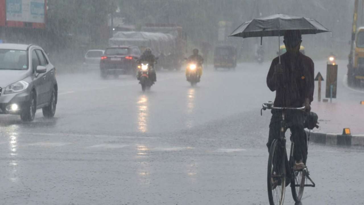
Under the impact of the system, Odisha is likely to experience light to moderate rain or thundershower for the next five days with heavy to very heavy rainfall in some places, the IMD has warned.
Further, under the influence of the system, squally weather with surface wind speed reaching 40-50 kmph gusting upto 60 kmph likely over deep sea areas of west central Bay of Bengal adjoining north Bay of Bengal during 25th to 26th September 2021; northwest and adjoining west central Bay of Bengal , along and off Odisha coast during 26th to 27th September 2021


