
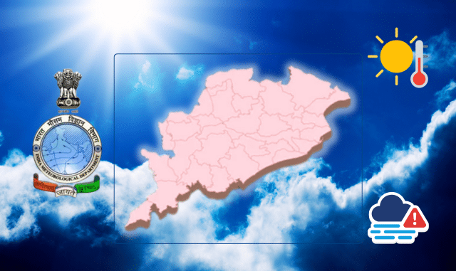
The biting cold of January has given way to a more temperate climate in Odisha, with night temperatures rising across the state while daytime heat intensifies.
In January, the mercury dipped to a low of 2.5 degrees Celsius in G. Udayagiri, Kandhamal district, and even hit minus 1 degree in Similipal. However, February has brought noticeable changes, with night temperatures climbing above 10 degrees in most lowland areas and showing increases in hilly regions as well.
The shift became evident starting last Friday, as the state witnesses a peculiar mix: lingering nighttime chill contrasted by rising daytime warmth. In many locations, maximum temperatures have now surpassed 30 degrees Celsius. According to the Indian Meteorological Department (IMD), this transformation is attributed to the reactivation of a western disturbance, influencing weather patterns.
Over the past 24 hours, G. Udayagiri recorded the lowest nighttime temperature at 4.4 degrees Celsius, while Jharsuguda saw the highest daytime reading of 33.7 degrees. Similar conditions are being experienced in high-altitude areas like Jammu and Kashmir, Ladakh, and Himachal Pradesh due to the same western disturbance. In Odisha, six cities reported night temperatures below 6 degrees in the last day, though the fog’s impact has diminished amid these changes.
Looking ahead, night temperatures are expected to rise by 2 to 4 degrees over the next five days. The weather will remain dry for the coming week, with no alerts issued for severe cold or dense fog. However, light fog may appear in isolated spots across Khordha, Gajapati, Ganjam, Cuttack, Puri, Kendrapara, and Jagatsinghpur districts. “The chances of major weather shifts are low, and we’ve forecasted light fog for the next five days,” stated Dr. Sanjib Dwivedi, a scientist at the Bhubaneswar Regional Meteorological Centre.
This transitional phase marks the early onset of warmer conditions, urging residents to prepare for fluctuating temperatures as winter fades.


