

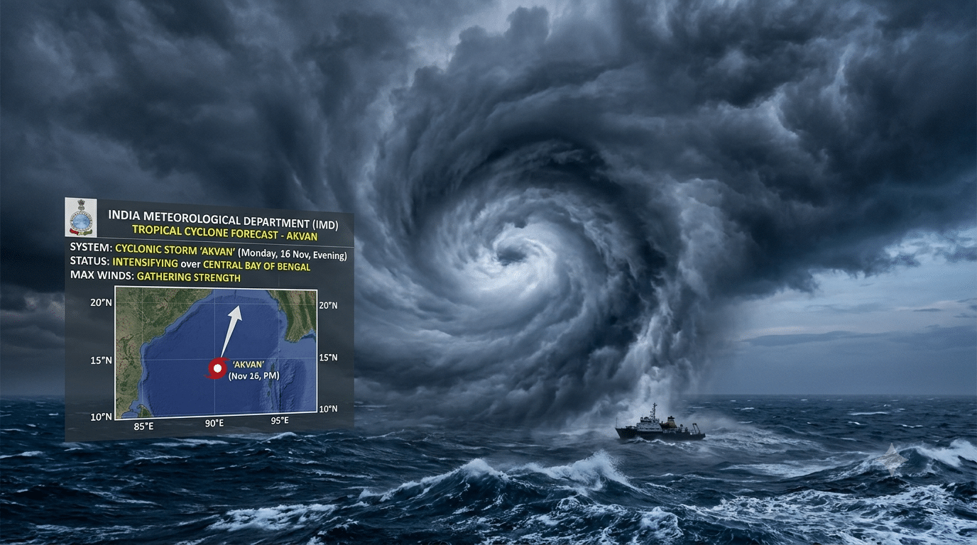
A developing weather system over the Bay of Bengal is steadily gathering strength and is on track to intensify into a cyclonic storm—to be named ‘Akvan’—by the evening of Monday, November 16.
According to the latest bulletin from the India Meteorological Department (IMD), the low-pressure area that initially formed over the southeast Bay of Bengal at 5:30 am on Friday, November 13, intensified into a well-marked low-pressure area over the same region by 5:30 am on Saturday, November 14.
Meteorologists state that the system is moving northwestwards and is very likely to concentrate into a depression over the southeast Bay of Bengal within the next 24 hours. Following this phase, the system is projected to shift its trajectory north-northwestwards, gaining further momentum over the open waters to emerge as a cyclonic storm over the central Bay of Bengal around Monday evening.
Once it reaches cyclonic storm intensity, the system will officially be named ‘Akvan’, a name contributed by Iran under the regional tropical cyclone naming convention.
Despite the clear timeline for its intensification over the sea, the IMD has yet to issue a definitive forecast regarding the storm’s exact landfall location or the specific coastal regions likely to bear the brunt of its impact. Weather officials noted that a clearer picture of the trajectory and potential coastal threat will emerge once the system organises into a depression.
In the meantime, squally weather with gusty winds is expected across parts of the Andaman Sea and the southeast and central Bay of Bengal over the coming days. The IMD is maintaining a 24-hour watch on the system’s movement and intensification, advising coastal authorities and fishermen to stay alert for further updates.