Bhubaneswar: The Low Pressure Area over Westcentral & adjoining Northwest Bay of Bengal off north Andhra Pradesh-south Odisha coasts has become more marked, said India Meteorological Department (IMD) on Saturday.
According to the IMD, the Low Pressure Area over Westcentral & adjoining Northwest Bay of Bengal off north Andhra Pradesh-south Odisha coasts has become more marked over Northwest & adjoining Westcentral Bay of Bengal off south Odisha-north Andhra Pradesh coasts during next 24 hours.
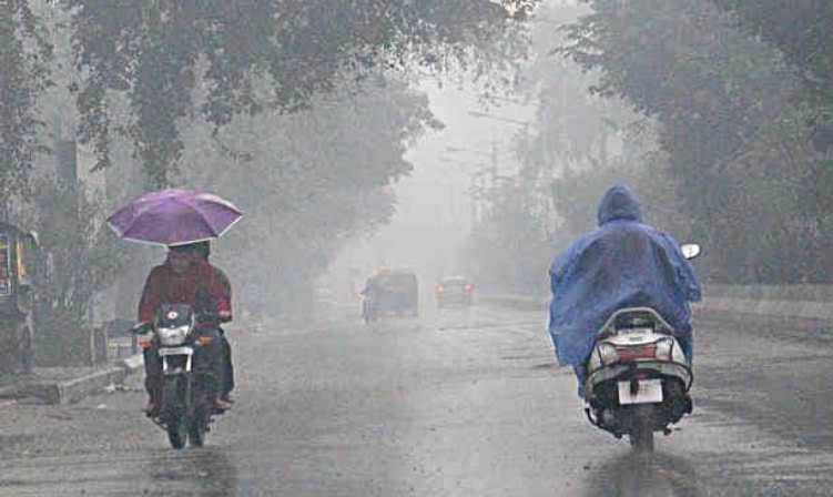
Under influence of the above system, several parts of Odisha will receive heavy to very heavy rainfall today and tomorrow.
The IMD has issued orange and yellow warning for several districts.
Light to moderate rain/thundershower very likely to occur at most places over districts of Odisha.
ORANGE WARNING (BE PREPARED)
1) Heavy to very heavy rainfall (7 to 20 cm) very likely to occur at isolated places over the districts
of Ganjam ,Gajapati ,Kandhamal ,Kalahandi ,Nawarangpur ,Khurda ,Nayagarh ,Malkangiri ,Koraput ,Rayagada ,Cuttack.
Light to moderate rain/thundershower very likely to occur at most places over districts of Odisha.
ORANGE WARNING (BE PREPARED)
Heavy to very heavy rainfall (7 to 20cm) very likely to occur at isolated places over the districts of Kandhamal ,Khurda ,Nayagarh ,Boudh ,Ganjam ,Kalahandi ,Nawarangpur ,Bolangir ,Nuapada ,Sonepur ,Puri .
YELLOW WARNING (BE UPDATED)
Heavy rainfall (7 to 11cm) very likely to occur at isolated places over the districts of Malkangiri,Koraput ,Gajapati ,Jagatsinghpur ,Kendrapara ,Bhadrak ,Jajpur ,Dhenkanal ,Angul ,Sambalpur ,Bargarh ,Jharsuguda ,Deogarh ,Rayagada ,Cuttack .
Comments are closed.