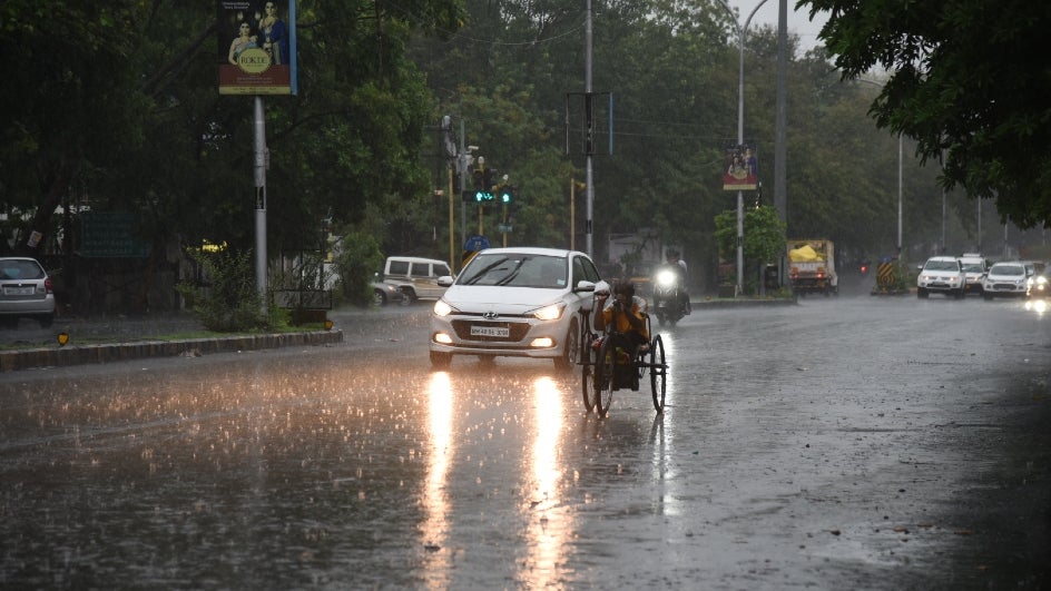
Bhubaneswar: The India Meteorological Department (IMD) on Sunday predicted rain and thunderstorm activities in several districts of Odisha till April 6.
According to the IMD, a cyclonic circulation lies over southeast Madhya Pradesh and neighbourhood and extends upto 1.5 km above mean sea level. The trough from east Bihar to north Odisha at 1.5 km above mean sea level has become less marked.
Following this, rain is very likely to occur at one or two places over the districts of Odisha.
Weather Forecast
Day-1 (valid up to 0830 hrs IST of 04.04.2022)
Light to moderate rain/thundershower very likely to occur at one or two places over the districts of North Coastal Odisha, Keonjhar, Mayurbhanj, Koraput, Rayagada and Gajapati.
Day-2 (valid from 0830 hrs IST of 04.04.2022 up to 0830 hrs IST of 05.04.2022)
Light to moderate rain/ thundershower very likely to occur at one or two places over the districts of Malkangiri, Koraput, Rayagada, Gajapati, Ganjam, Kandhamal, Mayurbhanj, Balasore and Bhadrak.
Day-3 (valid from 0830 hrs IST of 05.04.2022 up to 0830 hrs IST of 06.04.2022)
Light to moderate rain/ thundershower very likely to occur at one or two places over the districts of Malkangiri, Koraput, Rayagada, Gajapati and Mayurbhanj.
“There will be no large change in maximum temperature (Day Temperature) over the districts of Odisha during the next 4-5 days. It will be above normal by 2 to 3 degree Celsius at a few places over the districts of interior Odisha during the next 4-5 days,” said IMD.
Comments are closed.