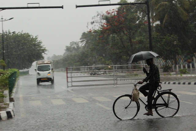
Bhubaneswar: Several parts of Odisha especially coastal and southern pockets are likely to witness heavy rainfall in next 24 hours, the India Meteorological Department (IMD) predicted on Sunday.
The weather agency stated “The cyclonic circulation over southwest Bay of Bengal and neighbourhood now lies over southwest Bay of Bengal and adjoining north Sri Lanka coast and extends upto 5.8 km above mean sea level”.
Under the influence of the phenomenon, heavy rainfall activities may be reported in Cuttack, Khurda, Puri , Ganjam, Gajapati, Rayagada, Koraput. The IMD has issued yello warnings for these districts which will remain valid till tomorrow morning.
Weather Forecast And Warnings:
Day-1 (valid up to 0830 hrs IST of 10.10.2022)
Yellow Warning: Heavy rainfall very likely to occur at one or two places over the districts of Cuttack, Khordha, Puri , Ganjam, Gajapati, Rayagada and Koraput.
Thunderstorm with lightning very likely to occur at one or two places over the districts of Balasore, Bhadrak, Jajpur, Kendrapara, Cuttack, Jagatsinghpur, Puri, Khordha, Nayagarh, Ganjam, Gajapati, Dhenkanal, Mayurbhanj, Keonjhar, Angul, Boudh, Kandhamal, Rayagada, Malkangiri , Koraput.
Day-2 (Valid from 0830 HRS IST of 10.10.2022 up to 0830 HRS IST of 11.10.2022)
Yellow Warning: Thunderstorm with lightning very likely to occur at one or two places over the districts of Balasore, Bhadrak, Jajpur, Kendrapara, Cuttack, Jagatsinghpur, Puri, Khordha, Nayagarh, Ganjam, Gajapati, Malkangiri, Koraput, Rayagada, Mayurbhanj, Dhenkanal .
Comments are closed.