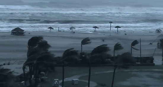
Bhubaneswar: Another Low Pressure area is likely to form over North and adjoining Central Bay of Bengal around September 11.
This has been informed by the IMD Regional Meteorological Centre in Bhubaneswar.
Reportedly, the Low Pressure area is likely to become more marked during the subsequent 24 hours and pass through Odisha on and around Sept 12-13.
As a consequence of the new weather development, there is a prediction of very heavy rainfall in the range of 26-50mm in the Brahmani-Baitarani river basin on September 12. The forecast further says around the early morning hours on September 14, extremely heavy rainfall in the range of 50-100mm in 6 hours will be lashing the districts of Sundargarh, Deogarh, Keonjhar, Mayurbhanj, Bhadrak, Jajpur, Angul and Dhenkanal.
The model predictions show the depression system likely to pass the Odisha coasts between Jagatsinghpur and Bhadrak on and around the early morning hours of Sept 14.
If the model forecasts are to be believed, a fresh low pressure area is likely to form in the north-central Bay of Bengal towards the fag end of the third week of this month. The conditions in the Bay of Bengal suggests the formation of another new low pressure area in the last week of September.
Comments are closed.